
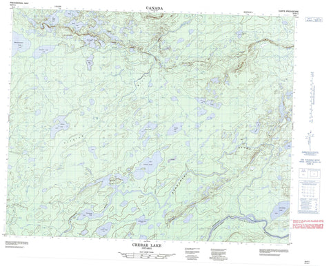
052P11 Crerar Lake Canada topo map, 1:50,000 scale
052P11 Crerar Lake NRCAN topographic map.
Includes UTM and GPS geographic coordinates (latitude and longitude). This 50k scale map is suitable for hiking, camping, and exploring, or you could frame it as a wall map.
Printed on-demand using high resolution, on heavy weight and acid free paper, or as an upgrade on a variety of synthetic materials.
Topos available on paper, Waterproof, Poly, or Tyvek. Usually shipping rolled, unless combined with other folded maps in one order.
- Product Number: NRCAN-052P11
- Parent Topo: TOPO-052P
- Map ID also known as: 052P11, 52P11
- Unfolded Size: Approximately 26" high by 36" wide
- Weight (paper map): ca. 55 grams
- Map Type: POD NRCAN Topographic Map
- Map Scale: 1:50,000
- Geographical region: Ontario, Canada
Neighboring Maps:
All neighboring Canadian topo maps are available for sale online at 1:50,000 scale.
Purchase the smaller scale map covering this area: Topo-052P
Spatial coverage:
Topo map sheet 052P11 Crerar Lake covers the following places:
- Thunder Bay - Bowern Lake - Cerullo Lake - Coulas Lake - Crerar Lake - Devos Lake - Dunkirk Lake - Goodeve Lake - Hurlock Lake - Juniper Lake - Martinsen Lake - Monmonawson Lake - Napier Lake - Odlum Lake - Pasquino Lake - Quill Lake - Skua Lake - Snowflake Lake - Tar Lake - Townshend Lake - Albany River Provincial Park - Albany River - Etowamami River - Foaming Creek - Trading River


