
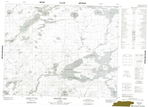
052P10 Miminiska Lake Canada topo map, 1:50,000 scale
052P10 Miminiska Lake NRCAN topographic map.
Includes UTM and GPS geographic coordinates (latitude and longitude). This 50k scale map is suitable for hiking, camping, and exploring, or you could frame it as a wall map.
Printed on-demand using high resolution, on heavy weight and acid free paper, or as an upgrade on a variety of synthetic materials.
Topos available on paper, Waterproof, Poly, or Tyvek. Usually shipping rolled, unless combined with other folded maps in one order.
- Product Number: NRCAN-052P10
- Parent Topo: TOPO-052P
- Map ID also known as: 052P10, 52P10
- Unfolded Size: Approximately 26" high by 36" wide
- Weight (paper map): ca. 55 grams
- Map Type: POD NRCAN Topographic Map
- Map Scale: 1:50,000
- Geographical region: Ontario, Canada
Neighboring Maps:
All neighboring Canadian topo maps are available for sale online at 1:50,000 scale.
Purchase the smaller scale map covering this area: Topo-052P
Spatial coverage:
Topo map sheet 052P10 Miminiska Lake covers the following places:
- Curry Bay - South Bay - Miminiska Peninsula - Miminiska Falls - Snake Falls - Thunder Bay - Miminiska Island - Bolster Lake - Douglas Lake - Howells Lake - Keezhik Lake - Merpaw Lake - Miminiska Lake - Nesting Lake - North Troutfly Lake - Petawanga Lake - Runions Lake - Snowdrift Lake - Snowflake Lake - Troutfly Lake - Weatherson Lake - Albany River - Douglas Creek - Ferguson Creek - Keezhik Creek - Keezhik River - Troutfly Creek - Troutfly River


