
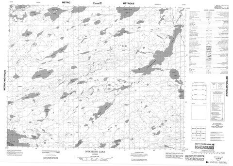
052P09 Opikeigen Lake Canada topo map, 1:50,000 scale
052P09 Opikeigen Lake NRCAN topographic map.
Includes UTM and GPS geographic coordinates (latitude and longitude). This 50k scale map is suitable for hiking, camping, and exploring, or you could frame it as a wall map.
Printed on-demand using high resolution, on heavy weight and acid free paper, or as an upgrade on a variety of synthetic materials.
Topos available on paper, Waterproof, Poly, or Tyvek. Usually shipping rolled, unless combined with other folded maps in one order.
- Product Number: NRCAN-052P09
- Parent Topo: TOPO-052P
- Map ID also known as: 052P09, 52P9, 52P09
- Unfolded Size: Approximately 26" high by 36" wide
- Weight (paper map): ca. 55 grams
- Map Type: POD NRCAN Topographic Map
- Map Scale: 1:50,000
- Geographical region: Ontario, Canada
Neighboring Maps:
All neighboring Canadian topo maps are available for sale online at 1:50,000 scale.
Purchase the smaller scale map covering this area: Topo-052P
Spatial coverage:
Topo map sheet 052P09 Opikeigen Lake covers the following places:
- Thunder Bay - Bresnahan Lake - Cluff Lake - Eabamet Lake - Ferguson Lake - Fogerty Lake - Frond Lake - Goss Lake - Gumuly Lake - Hyland Lake - Ishkish Lake - Ivan Lake - Keezhik Lake - Lilypad Lakes - Machan Lakes - Mezhisk Lake - Oneside Lake - Opikeigen Lake - Petawanga Lake - Pikokwaya Lake - Rich Lake - Rond Lake - Seagreen Lake - Spence Lake - Vandusen Lake - Wottam Lake - Albany River Provincial Park - Ferguson Creek - Lilypad Creek - Rich Creek


