
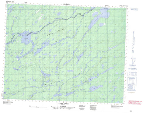
052P04 Coles Lake Canada topo map, 1:50,000 scale
052P04 Coles Lake NRCAN topographic map.
Includes UTM and GPS geographic coordinates (latitude and longitude). This 50k scale map is suitable for hiking, camping, and exploring, or you could frame it as a wall map.
Printed on-demand using high resolution, on heavy weight and acid free paper, or as an upgrade on a variety of synthetic materials.
Topos available on paper, Waterproof, Poly, or Tyvek. Usually shipping rolled, unless combined with other folded maps in one order.
- Product Number: NRCAN-052P04
- Parent Topo: TOPO-052P
- Map ID also known as: 052P04, 52P4, 52P04
- Unfolded Size: Approximately 26" high by 36" wide
- Weight (paper map): ca. 55 grams
- Map Type: POD NRCAN Topographic Map
- Map Scale: 1:50,000
- Geographical region: Ontario, Canada
Neighboring Maps:
All neighboring Canadian topo maps are available for sale online at 1:50,000 scale.
Purchase the smaller scale map covering this area: Topo-052P
Spatial coverage:
Topo map sheet 052P04 Coles Lake covers the following places:
- Main Channel - South Channel - Iron Falls - Kagami Falls - Thunder Bay - Kagami Island - Achapi Lake - Atikokiwam Lake - August Lake - Coles Lake - Crozier Lake - Dot Lake - Finton Lake - Frain Lake - Garraway Lake - Jemima Lake - Lowry Lake - Povey Lake - Rockcliff Lake - Rockliff Lake - Webb Lake - Woodilee Lake - Albany River Provincial Park - Wabakimi Provincial Park - Albany River - August Creek - Caron Creek - Lowry Creek - Misehkow River - Woodilee Creek


