
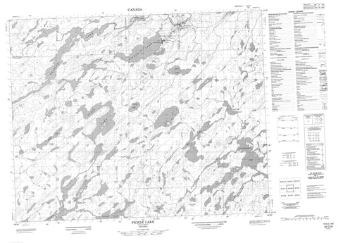
052O08 Pickle Lake Canada topo map, 1:50,000 scale
052O08 Pickle Lake NRCAN topographic map.
Includes UTM and GPS geographic coordinates (latitude and longitude). This 50k scale map is suitable for hiking, camping, and exploring, or you could frame it as a wall map.
Printed on-demand using high resolution, on heavy weight and acid free paper, or as an upgrade on a variety of synthetic materials.
Topos available on paper, Waterproof, Poly, or Tyvek. Usually shipping rolled, unless combined with other folded maps in one order.
- Product Number: NRCAN-052O08
- Parent Topo: TOPO-052O
- Map ID also known as: 052O08, 52O8, 52O08
- Unfolded Size: Approximately 26" high by 36" wide
- Weight (paper map): ca. 55 grams
- Map Type: POD NRCAN Topographic Map
- Map Scale: 1:50,000
- Geographical region: Ontario, Canada
Neighboring Maps:
All neighboring Canadian topo maps are available for sale online at 1:50,000 scale.
Purchase the smaller scale map covering this area: Topo-052O
Spatial coverage:
Topo map sheet 052O08 Pickle Lake covers the following places:
- Connell - McCullagh - Ponsford - Osnaburgh Indian Reserve 63B - Réserve indienne Osnaburgh 63B - Annimwash Lake - Coucheemoskog Lake - Dona Lake - Fault Lake - Garraway Lake - Graveyard Lake - Hook Lake - Jean Lake - Juby Lake - Kapkichi Lake - Kasagiminnis Lake - Keating Lake - Little Ochig Lake - Ochig Lake - Pickle Lake - Skebo Lake - Wimbabika Lake - Pickle Lake - Bow River - Carpenter River - Coucheemoskog River - Fault Creek - Kasagiminnis Creek - Kawinogans River - Minominatik Creek - Pickle Creek - Central Patricia - Pickle Crow - Pickle Lake


