
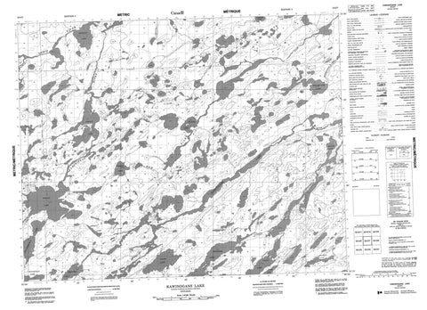
052O07 Kawinogans Lake Canada topo map, 1:50,000 scale
052O07 Kawinogans Lake NRCAN topographic map.
Includes UTM and GPS geographic coordinates (latitude and longitude). This 50k scale map is suitable for hiking, camping, and exploring, or you could frame it as a wall map.
Printed on-demand using high resolution, on heavy weight and acid free paper, or as an upgrade on a variety of synthetic materials.
Topos available on paper, Waterproof, Poly, or Tyvek. Usually shipping rolled, unless combined with other folded maps in one order.
- Product Number: NRCAN-052O07
- Parent Topo: TOPO-052O
- Map ID also known as: 052O07, 52O7, 52O07
- Unfolded Size: Approximately 26" high by 36" wide
- Weight (paper map): ca. 55 grams
- Map Type: POD NRCAN Topographic Map
- Map Scale: 1:50,000
- Geographical region: Ontario, Canada
Neighboring Maps:
All neighboring Canadian topo maps are available for sale online at 1:50,000 scale.
Purchase the smaller scale map covering this area: Topo-052O
Spatial coverage:
Topo map sheet 052O07 Kawinogans Lake covers the following places:
- Bancroft Lake - Bough Lake - Caley Lake - Dempster Lake - Gosney Lake - Graniteboss Lake - Hergott Lake - Jewett Lake - Kawinogans Lake - Knupp Lake - Massia Lake - Minominatik Lake - Mousetrap Lake - Munch Lake - Sky Lake - Strout Lake - Tranter Lake - Whitmore Lake - Wright Lake - Bow River - Carpenter River - Dobie River - Duffell Creek - Kaminiskag River - Kawinogans River - Minominatik Creek - Mousetrap Creek - Obaskaka River - Whitmore Creek


