
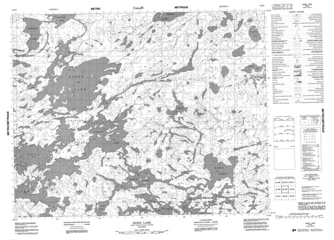
052O05 Zionz Lake Canada topo map, 1:50,000 scale
052O05 Zionz Lake NRCAN topographic map.
Includes UTM and GPS geographic coordinates (latitude and longitude). This 50k scale map is suitable for hiking, camping, and exploring, or you could frame it as a wall map.
Printed on-demand using high resolution, on heavy weight and acid free paper, or as an upgrade on a variety of synthetic materials.
Topos available on paper, Waterproof, Poly, or Tyvek. Usually shipping rolled, unless combined with other folded maps in one order.
- Product Number: NRCAN-052O05
- Parent Topo: TOPO-052O
- Map ID also known as: 052O05, 52O5, 52O05
- Unfolded Size: Approximately 26" high by 36" wide
- Weight (paper map): ca. 55 grams
- Map Type: POD NRCAN Topographic Map
- Map Scale: 1:50,000
- Geographical region: Ontario, Canada
Neighboring Maps:
All neighboring Canadian topo maps are available for sale online at 1:50,000 scale.
Purchase the smaller scale map covering this area: Topo-052O
Spatial coverage:
Topo map sheet 052O05 Zionz Lake covers the following places:
- West Channel - Barnie Island - Cross Island - Lemon Island - Thistle Island - Cluderay Lake - Fawcett Lake - Gitche Lake - Gull Lake - Hammerton Lake - Jackpine Lake - Kapikik Lake - Kezik Lake - Simard Lake - Zionz Lake - Gull-Christina Conservation Reserve - Birch River - Cat River - Dobie River - Keigat Creek - Kezik Creek - Stoughton Creek - Zionz Creek - Devils Portage


