
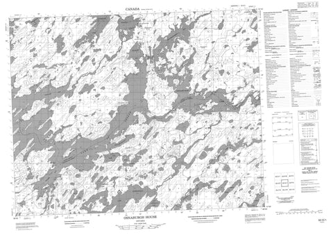
052O01 Osnaburgh House Canada topo map, 1:50,000 scale
052O01 Osnaburgh House NRCAN topographic map.
Includes UTM and GPS geographic coordinates (latitude and longitude). This 50k scale map is suitable for hiking, camping, and exploring, or you could frame it as a wall map.
Printed on-demand using high resolution, on heavy weight and acid free paper, or as an upgrade on a variety of synthetic materials.
Topos available on paper, Waterproof, Poly, or Tyvek. Usually shipping rolled, unless combined with other folded maps in one order.
- Product Number: NRCAN-052O01
- Parent Topo: TOPO-052O
- Map ID also known as: 052O01, 52O1, 52O01
- Unfolded Size: Approximately 26" high by 36" wide
- Weight (paper map): ca. 55 grams
- Map Type: POD NRCAN Topographic Map
- Map Scale: 1:50,000
- Geographical region: Ontario, Canada
Neighboring Maps:
All neighboring Canadian topo maps are available for sale online at 1:50,000 scale.
Purchase the smaller scale map covering this area: Topo-052O
Spatial coverage:
Topo map sheet 052O01 Osnaburgh House covers the following places:
- Annimwash Bay - Coucheemoskog Bay - Doghole Bay - Pedlarpath Bay - Searson Bay - Soules Bay - Twiname Bay - South Channel - Thunder Bay - Osnaburgh 63A - Osnaburgh 63B - Osnaburgh Indian Reserve 63A - Osnaburgh Indian Reserve 63B - Réserve indienne Osnaburgh 63A - Réserve indienne Osnaburgh 63B - Ace Lake - Aldous Lake - Annimwash Lake - Caron Lake - Deuce Lake - Doghole Lake - East Pashkokogan Lake - Eric Lake - Garraway Lake - Hughes Lake - Jemima Lake - Kasagiminnis Lake - Kent Lake - Lake St. Joseph - Osnaburgh Lake - Pashkokogan Lake - Povey Lake - Riach Lake - Wincott Lake - Albany River Provincial Park - Albany River - Aldous Creek - Caron Creek - Coucheemoskog River - Doghole River - Doran River - Pashkokogan River - New Osnaburgh - Osnaburgh House - Osnaburgh House - Rat Rapids


