
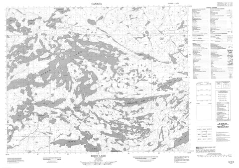
052N08 Birch Lake Canada topo map, 1:50,000 scale
052N08 Birch Lake NRCAN topographic map.
Includes UTM and GPS geographic coordinates (latitude and longitude). This 50k scale map is suitable for hiking, camping, and exploring, or you could frame it as a wall map.
Printed on-demand using high resolution, on heavy weight and acid free paper, or as an upgrade on a variety of synthetic materials.
Topos available on paper, Waterproof, Poly, or Tyvek. Usually shipping rolled, unless combined with other folded maps in one order.
- Product Number: NRCAN-052N08
- Parent Topo: TOPO-052N
- Map ID also known as: 052N08, 52N8, 52N08
- Unfolded Size: Approximately 26" high by 36" wide
- Weight (paper map): ca. 55 grams
- Map Type: POD NRCAN Topographic Map
- Map Scale: 1:50,000
- Geographical region: Ontario, Canada
Neighboring Maps:
All neighboring Canadian topo maps are available for sale online at 1:50,000 scale.
Purchase the smaller scale map covering this area: Topo-052N
Spatial coverage:
Topo map sheet 052N08 Birch Lake covers the following places:
- Exit Bay - South Bay - Stocking Bay - Wagner Bay - McNaughton - Johnson Island - Bertha Lake - Birch Lake - Carillon Lake - Casummit Lake - Cromarty Lake - Deaddog Lake - Dole Lake - Durkin Lake - Flannery Lake - Grace Lake - Graham Lake - Graydarl Lake - Gull Lake - Joneston Lake - Keigat Lake - McNaughton Lake - Mink Lake - Penson Lake - Richardson Lake - Satterly Lake - Seagrave Lake - Skingle Lake - Springpole Lake - Superstition Lake - Wilkins Lake - Birch River - Bumpy Creek - Casummit Creek - Joneston Creek - Keigat Creek - McNaughton Creek - Mink Creek - Okanse River - Seagrave Creek - Shabumeni River - Birch Portage - Casummit Lake


