
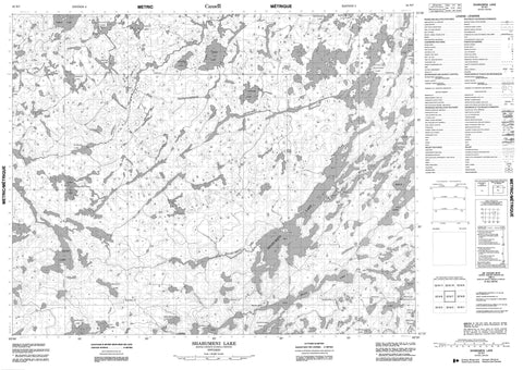
052N07 Shabumeni Lake Canada topo map, 1:50,000 scale
052N07 Shabumeni Lake NRCAN topographic map.
Includes UTM and GPS geographic coordinates (latitude and longitude). This 50k scale map is suitable for hiking, camping, and exploring, or you could frame it as a wall map.
Printed on-demand using high resolution, on heavy weight and acid free paper, or as an upgrade on a variety of synthetic materials.
Topos available on paper, Waterproof, Poly, or Tyvek. Usually shipping rolled, unless combined with other folded maps in one order.
- Product Number: NRCAN-052N07
- Parent Topo: TOPO-052N
- Map ID also known as: 052N07, 52N7, 52N07
- Unfolded Size: Approximately 26" high by 36" wide
- Weight (paper map): ca. 55 grams
- Map Type: POD NRCAN Topographic Map
- Map Scale: 1:50,000
- Geographical region: Ontario, Canada
Neighboring Maps:
All neighboring Canadian topo maps are available for sale online at 1:50,000 scale.
Purchase the smaller scale map covering this area: Topo-052N
Spatial coverage:
Topo map sheet 052N07 Shabumeni Lake covers the following places:
- Goodall - Honeywell - McNaughton - Skinner - Armour Lake - Bamford Lake - Bathurst Lake - Birch Lake - Car Lake - Evans Lake - Grace Lake - Guest Lake - Landry Lake - Leonard Lake - Little Shabumeni Lake - Mackie Lake - Mainprize Lake - McNally Lake - Mink Lake - Mousseau Lake - Needler Lake - Noble Lake - Offer Lake - Ruggles Lake - Shabu Lake - Shabumeni Lake - Stroud Lake - Swain Lake - Washagomis Lake - Wilkins Lake - Woman Lake - Bathurst Creek - Berens River - Honeywell Creek - Little Shabumeni River - Mamakwash River - Shabumeni River - Swain Post


