
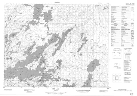
052N04 Red Lake Canada topo map, 1:50,000 scale
052N04 Red Lake NRCAN topographic map.
Includes UTM and GPS geographic coordinates (latitude and longitude). This 50k scale map is suitable for hiking, camping, and exploring, or you could frame it as a wall map.
Printed on-demand using high resolution, on heavy weight and acid free paper, or as an upgrade on a variety of synthetic materials.
Topos available on paper, Waterproof, Poly, or Tyvek. Usually shipping rolled, unless combined with other folded maps in one order.
- Product Number: NRCAN-052N04
- Parent Topo: TOPO-052N
- Map ID also known as: 052N04, 52N4, 52N04
- Unfolded Size: Approximately 26" high by 36" wide
- Weight (paper map): ca. 55 grams
- Map Type: POD NRCAN Topographic Map
- Map Scale: 1:50,000
- Geographical region: Ontario, Canada
Neighboring Maps:
All neighboring Canadian topo maps are available for sale online at 1:50,000 scale.
Purchase the smaller scale map covering this area: Topo-052N
Spatial coverage:
Topo map sheet 052N04 Red Lake covers the following places:
- East Bay - Gold Seekers Bay - Howey Bay - Hoyles Bay - McFinley Bay - McManus Bay - McNeely Bay - Pickerel Bay - Rahill Bay - Skookum Bay - Slate Bay - St. Paul Bay - St. Paul's Bay - Gold Seekers - Little Gold Seekers - Rahill Beach - Sandy Beach - Abino Point - Beatrice Peninsula - Cable Peninsula - Forestry Point - Howey Peninsula - Johnson's Point - McFinley Peninsula - McManus Peninsula - McNeely Peninsula - Skookum Peninsula - Slate Peninsula - Bruce Channel - East Narrows - Hammell Channel - McKenzie Channel - Middle Narrows - Post Narrows - Parker Falls - Baird - Balmer - Bateman - Byshe - Dome - Fairlie - Graves - Heyson - McDonough - Ranger - Shaver - Willans - Fisher Islands - Gentles Island - Goldray Island - Howey Island - Jack's Island - Mackenzie Island - McCuaig Island - McFinley Island - McKenzie Island - McManus Island - Parnell Islands - Pine Island - Prena Island - White Horse Island - Alford Lake - Anderson Lake - Balmer Lake - Blackbear Lake - Coin Lake - Corallen Lake - Florin Lake - Gullrock Lake - Jackfish Lake - Keg Lake - Little Vermilion Lake - Minnow Lake - O'Keefe Lake - Para Lake - Pindar Lake - Ranger Lake - Rathouse Lake - Red Lake - Shaver Lake - Snib Lake - Suffron Lake - Tomato Lake - Trout Lake - Walsh Lake - Balmertown - Golden - Trout Lake Provincial Nature Reserve - Abalard Creek - Alford Creek - Balmer Creek - Chukuni River - Coin Creek - Dom Creek - Florin Creek - Medicine Stone River - Medicine-stone River - Para Creek - Pindar Creek - Ranger Creek - Red Lake - Balmertown - Cochenour - McKenzie Island - Red Lake


