
052N01 Jeanette Lake Canada topo map, 1:50,000 scale
052N01 Jeanette Lake NRCAN topographic map.
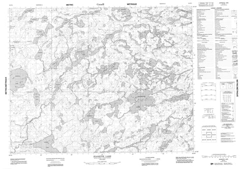
Includes UTM and GPS geographic coordinates (latitude and longitude). This 50k scale map is suitable for hiking, camping, and exploring, or you could frame it as a wall map.
Printed on-demand using high resolution, on heavy weight and acid free paper, or as an upgrade on a variety of synthetic materials.
Topos available on paper, Waterproof, Poly, or Tyvek. Usually shipping rolled, unless combined with other folded maps in one order.
- Product Number: NRCAN-052N01
- Parent Topo: TOPO-052N
- Map ID also known as: 052N01, 52N1, 52N01
- Unfolded Size: Approximately 26" high by 36" wide
- Weight (paper map): ca. 55 grams
- Map Type: POD NRCAN Topographic Map
- Map Scale: 1:50,000
- Geographical region: Ontario, Canada
Neighboring Maps:
All neighboring Canadian topo maps are available for sale online at 1:50,000 scale.
Purchase the smaller scale map covering this area: Topo-052N
Spatial coverage:
Topo map sheet 052N01 Jeanette Lake covers the following places:
- Birkett - Costello - McNaughton - Allison Lake - Argosy Lake - Bertha Lake - Bumpy Lake - Cavano Lake - Christina Lake - Cook Lake - Costello Lake - Deaddog Lake - Hailstone Lake - Jeanette Lake - Jethel Lake - Jubilee Lake - Latreille Lake - Margaret Lake - Marsh Lake - McNaughton Lake - One Island Lake - Peg Lake - Perrigo Lake - Ruddy Lake - Sesikinaga Lake - South Wagner Lake - St. Ours Lake - St. Roy Lake - Tarpley Lake - Wagner Lake - Wakeman Lake - Brokenmouth River Conservation Reserve - Brokenmouth River - Bumpy Creek - Deaddog Creek - Hailstone Creek - Jubilee Creek - Sesikinaga River - St. Roy Creek - Wenasaga River


