
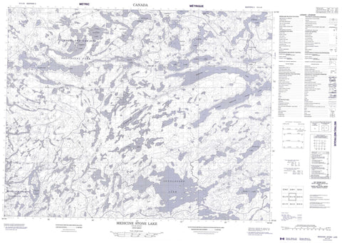
052L16 Medicine Stone Lake Canada topo map, 1:50,000 scale
052L16 Medicine Stone Lake NRCAN topographic map.
Includes UTM and GPS geographic coordinates (latitude and longitude). This 50k scale map is suitable for hiking, camping, and exploring, or you could frame it as a wall map.
Printed on-demand using high resolution, on heavy weight and acid free paper, or as an upgrade on a variety of synthetic materials.
Topos available on paper, Waterproof, Poly, or Tyvek. Usually shipping rolled, unless combined with other folded maps in one order.
- Product Number: NRCAN-052L16
- Parent Topo: TOPO-052L
- Map ID also known as: 052L16, 52L16
- Unfolded Size: Approximately 26" high by 36" wide
- Weight (paper map): ca. 55 grams
- Map Type: POD NRCAN Topographic Map
- Map Scale: 1:50,000
- Geographical region: Ontario, Canada
Neighboring Maps:
All neighboring Canadian topo maps are available for sale online at 1:50,000 scale.
Purchase the smaller scale map covering this area: Topo-052L
Spatial coverage:
Topo map sheet 052L16 Medicine Stone Lake covers the following places:
- Muskrat Bay - Baird - Killala - Mulcahy - Anchor Lake - Bunny Lake - Call Lake - Dedee Lake - Detour Lake - Douglas Lake - Ducharme Lake - Embryo Lake - Hatchet Lake - Iriam Lake - Johnson Lake - Laird Lake - Leano Lake - Lee Lake - Leitch Lake - Longlegged Lake - Long-legged Lake - Medicine Stone Lake - Medicine-stone Lake - Onnie Lake - Parker Lake - Rainfall Lake - Red Lake - Suffel Lake - Tack Lake - Telescope Lake - Thrasher Lake - Underbrush Lake - Upper Hatchet Lake - Upper Medicine Stone Lake - Upper Medicine-stone Lake - Balmertown - Golden - Woodland Caribou Provincial Park - Dedee Creek - Douglas Creek - Iriam Creek - Leano Creek - Medicine Stone River - Medicine-stone River - Rainfall Creek - Rostoul River - Suffel Creek - Thrasher Creek - Red Lake


