
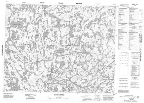
052L15 Rostoul Lake Canada topo map, 1:50,000 scale
052L15 Rostoul Lake NRCAN topographic map.
Includes UTM and GPS geographic coordinates (latitude and longitude). This 50k scale map is suitable for hiking, camping, and exploring, or you could frame it as a wall map.
Printed on-demand using high resolution, on heavy weight and acid free paper, or as an upgrade on a variety of synthetic materials.
Topos available on paper, Waterproof, Poly, or Tyvek. Usually shipping rolled, unless combined with other folded maps in one order.
- Product Number: NRCAN-052L15
- Parent Topo: TOPO-052L
- Map ID also known as: 052L15, 52L15
- Unfolded Size: Approximately 26" high by 36" wide
- Weight (paper map): ca. 55 grams
- Map Type: POD NRCAN Topographic Map
- Map Scale: 1:50,000
- Geographical region: Ontario, Canada
Neighboring Maps:
All neighboring Canadian topo maps are available for sale online at 1:50,000 scale.
Purchase the smaller scale map covering this area: Topo-052L
Spatial coverage:
Topo map sheet 052L15 Rostoul Lake covers the following places:
- Adventure Lake - Aegean Lake - Beamish Lake - Bulging Lake - Bunny Lake - Domain Lake - Glenn Lake - Haggart Lake - Hammerhead Lake - Hansen Lake - Haven Lake - Irregular Lake - Mather Lake - Optic Lake - Paull Lake - Rostoul Lake - Trident Lake - Welkin Lake - Wrist Lake - Woodland Caribou Provincial Park - Adventure Creek - Aegean Creek - Beamish Creek - Bird River - Domain Creek - Gammon River - Haggart River - Haven Creek - Leano Creek - Oiseau River - Rostoul River


