
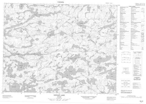
052L08 Lennan Lake Canada topo map, 1:50,000 scale
052L08 Lennan Lake NRCAN topographic map.
Includes UTM and GPS geographic coordinates (latitude and longitude). This 50k scale map is suitable for hiking, camping, and exploring, or you could frame it as a wall map.
Printed on-demand using high resolution, on heavy weight and acid free paper, or as an upgrade on a variety of synthetic materials.
Topos available on paper, Waterproof, Poly, or Tyvek. Usually shipping rolled, unless combined with other folded maps in one order.
- Product Number: NRCAN-052L08
- Parent Topo: TOPO-052L
- Map ID also known as: 052L08, 52L8, 52L08
- Unfolded Size: Approximately 26" high by 36" wide
- Weight (paper map): ca. 55 grams
- Map Type: POD NRCAN Topographic Map
- Map Scale: 1:50,000
- Geographical region: Ontario, Canada
Neighboring Maps:
All neighboring Canadian topo maps are available for sale online at 1:50,000 scale.
Purchase the smaller scale map covering this area: Topo-052L
Spatial coverage:
Topo map sheet 052L08 Lennan Lake covers the following places:
- Ball Lake - Beauty Lake - Brown Bear Lake - Campfire Lake - Dumpy Lake - Fletcher Lake - Helder Lake - Indian Lake - Lennan Lake - Paintpot Lake - Right Lake - Roger Lake - Salvesen Lake - Scenic Lake - Scotty Lake - Separation Lake - Solitary Lake - Tide Lake - Treelined Lake - Wrong Lake - Campfire River Conservation Reserve - Scotty Lake Conservation Reserve - Separation Rapids - Campfire River - Confusion River - Dumpy Creek - Helder Creek - Lennan Creek - Sturgeon River - Treelined Creek


