
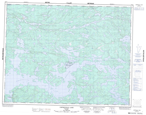
052L07 Umfreville Lake Canada topo map, 1:50,000 scale
052L07 Umfreville Lake NRCAN topographic map.
Includes UTM and GPS geographic coordinates (latitude and longitude). This 50k scale map is suitable for hiking, camping, and exploring, or you could frame it as a wall map.
Printed on-demand using high resolution, on heavy weight and acid free paper, or as an upgrade on a variety of synthetic materials.
Topos available on paper, Waterproof, Poly, or Tyvek. Usually shipping rolled, unless combined with other folded maps in one order.
- Product Number: NRCAN-052L07
- Parent Topo: TOPO-052L
- Map ID also known as: 052L07, 52L7, 52L07
- Unfolded Size: Approximately 26" high by 36" wide
- Weight (paper map): ca. 55 grams
- Map Type: POD NRCAN Topographic Map
- Map Scale: 1:50,000
- Geographical region: Ontario, Canada
Neighboring Maps:
All neighboring Canadian topo maps are available for sale online at 1:50,000 scale.
Purchase the smaller scale map covering this area: Topo-052L
Spatial coverage:
Topo map sheet 052L07 Umfreville Lake covers the following places:
- Caribou Falls - Deer Falls - Lower Kettle Falls - Middle Kettle Falls - Upper Kettle Falls - One Man Lake 29 - One Man Lake Indian Reserve 29 - Réserve indienne One Man Lake 29 - Almo Lake - Cabin Lake - Fletcher Lake - Fortune Lake - Gib Lake - Gone Lake - Gordon Lake - Grant Lake - Loons Nest Lake - Oneman Lake - Rex Lake - Routine Lake - Tourist Lake - Trapline Lake - Twelnor Lake - Umfreville Lake - Umfreville Lake - Werner Lake - Cavalary Creek - English River - Sturgeon River - Werner River - Winding River - Caribou Falls - Werner Lake


