
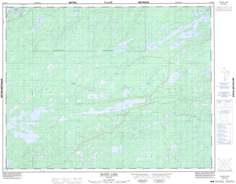
052K15 Bluffy Lake Canada topo map, 1:50,000 scale
052K15 Bluffy Lake NRCAN topographic map.
Includes UTM and GPS geographic coordinates (latitude and longitude). This 50k scale map is suitable for hiking, camping, and exploring, or you could frame it as a wall map.
Printed on-demand using high resolution, on heavy weight and acid free paper, or as an upgrade on a variety of synthetic materials.
Topos available on paper, Waterproof, Poly, or Tyvek. Usually shipping rolled, unless combined with other folded maps in one order.
- Product Number: NRCAN-052K15
- Parent Topo: TOPO-052K
- Map ID also known as: 052K15, 52K15
- Unfolded Size: Approximately 26" high by 36" wide
- Weight (paper map): ca. 55 grams
- Map Type: POD NRCAN Topographic Map
- Map Scale: 1:50,000
- Geographical region: Ontario, Canada
Neighboring Maps:
All neighboring Canadian topo maps are available for sale online at 1:50,000 scale.
Purchase the smaller scale map covering this area: Topo-052K
Spatial coverage:
Topo map sheet 052K15 Bluffy Lake covers the following places:
- Sawan Bay - Wassa Bay - Belanger - Bowerman - Anape Lake - Badrock Lake - Ben Lake - Bluffy Lake - Chilcott Lake - Fredart Lake - Gerry Lake - Lower Slate Lake - Ogani Lake - Panama Lake - Slate Lake - Snakeweed Lake - Taber Lake - Upper Slate Lake - Whitemud Lake - Papaonga River - Perky Creek - Uchi River - Wenasaga River - Whitemud River - Woman River


