
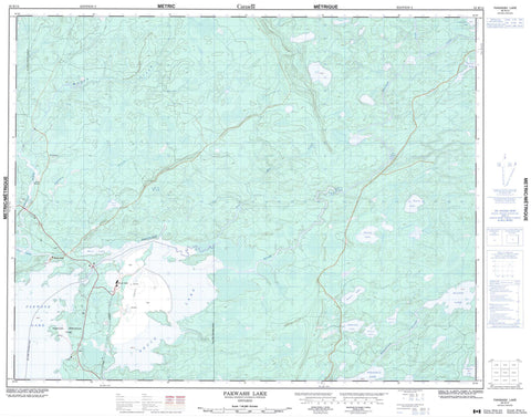
052K14 Pakwash Lake Canada topo map, 1:50,000 scale
052K14 Pakwash Lake NRCAN topographic map.
Includes UTM and GPS geographic coordinates (latitude and longitude). This 50k scale map is suitable for hiking, camping, and exploring, or you could frame it as a wall map.
Printed on-demand using high resolution, on heavy weight and acid free paper, or as an upgrade on a variety of synthetic materials.
Topos available on paper, Waterproof, Poly, or Tyvek. Usually shipping rolled, unless combined with other folded maps in one order.
- Product Number: NRCAN-052K14
- Parent Topo: TOPO-052K
- Map ID also known as: 052K14, 52K14
- Unfolded Size: Approximately 26" high by 36" wide
- Weight (paper map): ca. 55 grams
- Map Type: POD NRCAN Topographic Map
- Map Scale: 1:50,000
- Geographical region: Ontario, Canada
Neighboring Maps:
All neighboring Canadian topo maps are available for sale online at 1:50,000 scale.
Purchase the smaller scale map covering this area: Topo-052K
Spatial coverage:
Topo map sheet 052K14 Pakwash Lake covers the following places:
- Iron Bay - Snake Falls - Whitefish Falls - Willans - Bluffy Lake - Bruce Lake - Chilcott Lake - East Lake - Emarton Lake - Feaver Lake - Flundra Lake - Gerry Lake - Gleave Lake - Hazell Lake - Karas Lake - Pakwash Lake - Pakwash Lakes - Snail Lake - Snakeweed Lake - Wenasaga Lake - Ear Falls - Bruce Lake Conservation Reserve - Pakwash Provincial Park - Big Falls - Caribou Creek - Chukuni River - Dixie Creek - Moose Creek - Ten Mile Creek - Troutlake River - Wenasaga River - Woman River - Sams Portage - Bruce Lake - Snake Falls


