
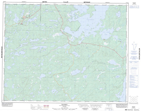
052K13 Madsen Canada topo map, 1:50,000 scale
052K13 Madsen NRCAN topographic map.
Includes UTM and GPS geographic coordinates (latitude and longitude). This 50k scale map is suitable for hiking, camping, and exploring, or you could frame it as a wall map.
Printed on-demand using high resolution, on heavy weight and acid free paper, or as an upgrade on a variety of synthetic materials.
Topos available on paper, Waterproof, Poly, or Tyvek. Usually shipping rolled, unless combined with other folded maps in one order.
- Product Number: NRCAN-052K13
- Parent Topo: TOPO-052K
- Map ID also known as: 052K13, 52K13
- Unfolded Size: Approximately 26" high by 36" wide
- Weight (paper map): ca. 55 grams
- Map Type: POD NRCAN Topographic Map
- Map Scale: 1:50,000
- Geographical region: Ontario, Canada
Neighboring Maps:
All neighboring Canadian topo maps are available for sale online at 1:50,000 scale.
Purchase the smaller scale map covering this area: Topo-052K
Spatial coverage:
Topo map sheet 052K13 Madsen covers the following places:
- Starratt Channel - Baird - Byshe - Heyson - Willans - Bouzan Lake - Boyden Lake - Bug Lake - Dedee Lake - Dixie Lake - Faulkenham Lake - Flat Lake - Genessee Lake - Gullrock Lake - Halden Lake - Hiewall Lake - High Lake - Insect Lake - Keg Lake - Killoran Lake - Pakwash Lake - Pakwash Lakes - Petersen Lake - Roger Lake - Russett Lake - Snib Lake - Sparks Lake - Stone Lake - Sully Lake - Tote Road Lake - Two Island Lake - Upper Medicine Stone Lake - Wales Lake - Willans Lake - Balmertown - Golden - Pakwash Provincial Park - Bouzan Creek - Boyden Creek - Bug River - Caribou Creek - Chukuni River - Coin Creek - Dedee Creek - Dixie Creek - Dom Creek - Killoran Creek - Roger Creek - Stone Creek - Sully Creek - Snowshoe Portage - Red Lake - Madsen - Starratt-Olsen


