
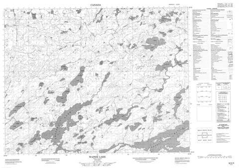
052K09 Wapesi Lake Canada topo map, 1:50,000 scale
052K09 Wapesi Lake NRCAN topographic map.
Includes UTM and GPS geographic coordinates (latitude and longitude). This 50k scale map is suitable for hiking, camping, and exploring, or you could frame it as a wall map.
Printed on-demand using high resolution, on heavy weight and acid free paper, or as an upgrade on a variety of synthetic materials.
Topos available on paper, Waterproof, Poly, or Tyvek. Usually shipping rolled, unless combined with other folded maps in one order.
- Product Number: NRCAN-052K09
- Parent Topo: TOPO-052K
- Map ID also known as: 052K09, 52K9, 52K09
- Unfolded Size: Approximately 26" high by 36" wide
- Weight (paper map): ca. 55 grams
- Map Type: POD NRCAN Topographic Map
- Map Scale: 1:50,000
- Geographical region: Ontario, Canada
Neighboring Maps:
All neighboring Canadian topo maps are available for sale online at 1:50,000 scale.
Purchase the smaller scale map covering this area: Topo-052K
Spatial coverage:
Topo map sheet 052K09 Wapesi Lake covers the following places:
- Wapesi Bay - Aerial Lake - Altimeter Lake - Antenna Lake - Birmingham Lake - Book Lake - Cone Lake - Copilot Lake - Corrie Lake - Cover Lake - Dead Lake - Dory Lake - Dotted Lake - Fall Lake - Farm Lake - Flame Lake - Forest Lake - Fork Lake - Goat Lake - Griff Lake - Hall Lake - Hand Lake - Kastner Lake - Landings Lake - Lorne Lake - Magpie Lake - Maskara Lake - McKenna Lake - Millman Lake - Mining Lake - Nine Lake - Noel Love Lake - Pilot Lake - Pollock Lake - Pusher Lake - Raggy Lake - Ridge Lake - Running Lake - Side Lake - Sun Lake - Tear Lake - Thunder Lake - Track Lake - Upper Wapesi Lake - Wapesi Lake - Wind Lake - Writhing Lake - Yard Lake - Whitemud Conservation Reserve - Altimeter Creek - Antenna Creek - Birmingham Creek - Copilot Creek - Fall Creek - Farm Creek - Flame Creek - Fork Creek - Hall Creek - Hand Creek - Lorne Creek - Magpie Creek - Maxwell Creek - Mining Creek - Pilot Creek - Raggy Creek - Sun Creek - Track Creek - Wapesi River - Weekday Creek - Wind Creek - Yard Creek


