
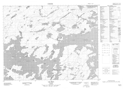
052K08 Lac Seul Canada topo map, 1:50,000 scale
052K08 Lac Seul NRCAN topographic map.
Includes UTM and GPS geographic coordinates (latitude and longitude). This 50k scale map is suitable for hiking, camping, and exploring, or you could frame it as a wall map.
Printed on-demand using high resolution, on heavy weight and acid free paper, or as an upgrade on a variety of synthetic materials.
Topos available on paper, Waterproof, Poly, or Tyvek. Usually shipping rolled, unless combined with other folded maps in one order.
- Product Number: NRCAN-052K08
- Parent Topo: TOPO-052K
- Map ID also known as: 052K08, 52K8, 52K08
- Unfolded Size: Approximately 26" high by 36" wide
- Weight (paper map): ca. 55 grams
- Map Type: POD NRCAN Topographic Map
- Map Scale: 1:50,000
- Geographical region: Ontario, Canada
Neighboring Maps:
All neighboring Canadian topo maps are available for sale online at 1:50,000 scale.
Purchase the smaller scale map covering this area: Topo-052K
Spatial coverage:
Topo map sheet 052K08 Lac Seul covers the following places:
- Aldous Bay - Black Bay - Bray Bay - Canoe Bay - Fish Hook Bay - Kejick Bay - Ningewance Bay - Tuktegweik Bay - Two Point Bay - Vallance Bay - Vaughan Bay - Victor Bay - Wapesi Bay - Whitefish Bay - Bannatyne Point - Dewey Point - Pine Point - Quoquat Point - Wesley Point - Whitepine Point - Willow Point - Bray Channel - Bray Lake Channel - Maclean's Narrows - Vaughan Channel - Whitefish Channel - Windy Narrows - Lac Seul Indian Reserve 28 - Réserve indienne Lac Seul 28 - Banana Island - Broken Stick - Cow Island - Eagle Island - East Corner - Farm Island - Gronbeck Island - Kejick Bay Island - Manito Island - McGuire Island - Park Island - Pine Island - Poplar Island - Seagull Island - Spruce River Island - Stewart Island - Armour Lake - Base Lake - Boat Lake - Bray Lake - Canoe Lake - Clace Lake - Clear Lake - Farm Lake - Great Portage Lake - Hall Lake - Lac Seul - Linden Lake - Little Rice Lake - Marsh Lake - Race Lake - Rice Lake - Spruce Lake - Toby Lake - Tuktegweik Lake - Twain Lake - Wapesi Lake - Warship Lake - Yard Lake - Lac Seul Islands Conservation Reserve - Armour Creek - Base Creek - Boat Creek - English River - Linden Creek - Marsh Creek - Race Creek - Spivy Creek - Spruce River - Tuktegweik River - Vaughan River - Wapesi River - Warship Creek - Yard Creek - Little Poplar Portage - Kejick Bay - Lac Seul


