
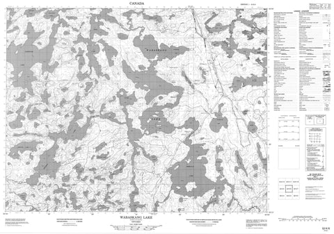
052K06 Wabaskang Lake Canada topo map, 1:50,000 scale
052K06 Wabaskang Lake NRCAN topographic map.
Includes UTM and GPS geographic coordinates (latitude and longitude). This 50k scale map is suitable for hiking, camping, and exploring, or you could frame it as a wall map.
Printed on-demand using high resolution, on heavy weight and acid free paper, or as an upgrade on a variety of synthetic materials.
Topos available on paper, Waterproof, Poly, or Tyvek. Usually shipping rolled, unless combined with other folded maps in one order.
- Product Number: NRCAN-052K06
- Parent Topo: TOPO-052K
- Map ID also known as: 052K06, 52K6, 52K06
- Unfolded Size: Approximately 26" high by 36" wide
- Weight (paper map): ca. 55 grams
- Map Type: POD NRCAN Topographic Map
- Map Scale: 1:50,000
- Geographical region: Ontario, Canada
Neighboring Maps:
All neighboring Canadian topo maps are available for sale online at 1:50,000 scale.
Purchase the smaller scale map covering this area: Topo-052K
Spatial coverage:
Topo map sheet 052K06 Wabaskang Lake covers the following places:
- Aerobus Bay - Bass Bay - Bay of Islands - East Bay - Farewell Bay - Gawleys Bay - McLeod Bay - Rat Bay - Scout Bay - Perrault Falls - Réserve indienne Wabauskang 21 - Wabauskang 21 - Wabauskang Indian Reserve 21 - Hatfield's Island - Haystack Island - Aerobus Lake - Anishinabi Lake - Bednargik Lake - Bornite Lake - Dennis Lake - Florence Lake - Halvorsen Lake - Hogg Lake - Honest Lake - Howard Lake - Jackfish Lake - Keynote Lake - Lac Seul - Lost Lake - Mary Lake - Perrault Lake - Pipette Lake - Scout Lake - Sherin Lake - Spadina Lake - Stink Lake - Wabaskang Lake - Wine Lake - Aerobus Creek - Anishinabi River - Cedar River - Florence Creek - Keynote Creek - Ord River - Whalesback Rock - Lac Seul - Perrault Falls - Wabaskang


