
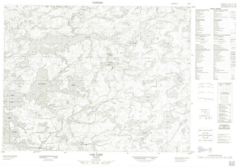
052K05 Oak Lake Canada topo map, 1:50,000 scale
052K05 Oak Lake NRCAN topographic map.
Includes UTM and GPS geographic coordinates (latitude and longitude). This 50k scale map is suitable for hiking, camping, and exploring, or you could frame it as a wall map.
Printed on-demand using high resolution, on heavy weight and acid free paper, or as an upgrade on a variety of synthetic materials.
Topos available on paper, Waterproof, Poly, or Tyvek. Usually shipping rolled, unless combined with other folded maps in one order.
- Product Number: NRCAN-052K05
- Parent Topo: TOPO-052K
- Map ID also known as: 052K05, 52K5, 52K05
- Unfolded Size: Approximately 26" high by 36" wide
- Weight (paper map): ca. 55 grams
- Map Type: POD NRCAN Topographic Map
- Map Scale: 1:50,000
- Geographical region: Ontario, Canada
Neighboring Maps:
All neighboring Canadian topo maps are available for sale online at 1:50,000 scale.
Purchase the smaller scale map covering this area: Topo-052K
Spatial coverage:
Topo map sheet 052K05 Oak Lake covers the following places:
- Oxalis Bay - South Bay - Cardinal Carter Falls - Lower Oak Falls - Maynard Falls - Upper Oak Falls - Alfred Lake - Anishinabi Lake - Ball Lake - Bridge Lake - Burden Lake - Colbran Lake - Devlin Lake - Inar Lake - Marshalok Lake - Maynard Lake - Oak Lake - Portal Lake - Stewart Lake - Sup Lake - Tide Lake - Toole Lake - Unexpected Lake - Wilcox Lake - Maynard Lake Provincial Nature Reserve - Tide Lake Provincial Nature Reserve - West English River Provincial Park - English River - Wabigoon River - Zizania Creek


