
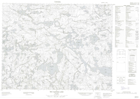
052K04 Big Canyon Lake Canada topo map, 1:50,000 scale
052K04 Big Canyon Lake NRCAN topographic map.
Includes UTM and GPS geographic coordinates (latitude and longitude). This 50k scale map is suitable for hiking, camping, and exploring, or you could frame it as a wall map.
Printed on-demand using high resolution, on heavy weight and acid free paper, or as an upgrade on a variety of synthetic materials.
Topos available on paper, Waterproof, Poly, or Tyvek. Usually shipping rolled, unless combined with other folded maps in one order.
- Product Number: NRCAN-052K04
- Parent Topo: TOPO-052K
- Map ID also known as: 052K04, 52K4, 52K04
- Unfolded Size: Approximately 26" high by 36" wide
- Weight (paper map): ca. 55 grams
- Map Type: POD NRCAN Topographic Map
- Map Scale: 1:50,000
- Geographical region: Ontario, Canada
Neighboring Maps:
All neighboring Canadian topo maps are available for sale online at 1:50,000 scale.
Purchase the smaller scale map covering this area: Topo-052K
Spatial coverage:
Topo map sheet 052K04 Big Canyon Lake covers the following places:
- Green Bay - McIntosh Bay - Outlet Bay - Segise Bay - Crooked Narrows - Indian Dog Narrows - West Narrows - Sixty Two Foot Falls - English River Indian Reserve 21 - Réserve indienne English River 21 - Caboose Island - Christmas Island - Eagle Island - Gull Island - Norway Island - Round Island - Twin Islands - Adam Lake - Bert Lake - Big Canon Lake - Big Canyon Lake - Clay Lake - Clear Lake - Colonna Lake - Cox Lake - Deadfish Lake - Eye Lake - Favel Lake - Francille Lake - Golder Lake - Grassy Narrows Lake - Gus Lake - Hagen Lake - Havik Lake - Keys Lake - Kilgour Lake - Little Clay Lake - McKellar Lake - Meandering Lake - Mink Lake - Noname Lake - One Mile Lake - Segise Lake - Segise Lake - Wolf Lake - Clay Lake Conservation Reserve - Cooper's Rapids - Bug Creek - Canyon River - English River - Fluke Creek - Havik Creek - Wabigoon River - Wolf Creek - Canyon Stretch - Grassy Narrows - Hay Marsh


