
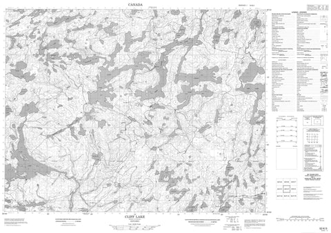
052K03 Cliff Lake Canada topo map, 1:50,000 scale
052K03 Cliff Lake NRCAN topographic map.
Includes UTM and GPS geographic coordinates (latitude and longitude). This 50k scale map is suitable for hiking, camping, and exploring, or you could frame it as a wall map.
Printed on-demand using high resolution, on heavy weight and acid free paper, or as an upgrade on a variety of synthetic materials.
Topos available on paper, Waterproof, Poly, or Tyvek. Usually shipping rolled, unless combined with other folded maps in one order.
- Product Number: NRCAN-052K03
- Parent Topo: TOPO-052K
- Map ID also known as: 052K03, 52K3, 52K03
- Unfolded Size: Approximately 26" high by 36" wide
- Weight (paper map): ca. 55 grams
- Map Type: POD NRCAN Topographic Map
- Map Scale: 1:50,000
- Geographical region: Ontario, Canada
Neighboring Maps:
All neighboring Canadian topo maps are available for sale online at 1:50,000 scale.
Purchase the smaller scale map covering this area: Topo-052K
Spatial coverage:
Topo map sheet 052K03 Cliff Lake covers the following places:
- Convention Bay - East Bay - Four O'Clock Bay - Grassy Bay - Hatfield Bay - Hay Marsh Bay - Mosher Bay - Muskie Bay - Norwest Bay - Portage Bay - Puzzle Bay - Buller - Ladysmith - Redvers - Wauchope - Caboose Island - Harbour Island - Indian Island - Affleck Lake - Beaton Lake - Bivo Lake - Blackbluff Lake - Bug Lake - Caribou Lake - Carter Lake - Cedar Lake - Clay Lake - Cliff Lake - Double Lake - Dud Lake - Evening Lake - Eye Lake - Fleet Lake - Fluke Lake - Gerrard Lake - Jackfish Lake - Keynote Lake - Ladysmith Lake - Little Clay Lake - Long Lake - Meridian Lake - Mink Lake - Moose Lake - Mystery Lake - Nelson Lake - Norse Lake - One Island Lake - Ord Lake - Pear Lake - Peephole Lake - Pickerel Lake - Redbluff Creek - Redbluff Lake - Redvers Lake - Ross Lake - Schultz Lake - Square Lake - St. Clair Lake - Trail Lake - Twilight Lake - Walsh Lake - Wauchope Lake - West Cedar Lake - Clay Lake Conservation Reserve - Twilight Lake Conservation Reserve - Beaton Creek - Blackbluff Creek - Bug Creek - Buller Creek - Fluke Creek - One Island Creek - Ord River - Pickerel Creek - Wabigoon River - Twilight Portage - Camp Robinson - Niddrie - Hay Marsh


