
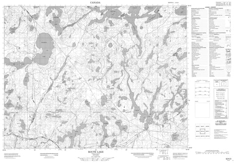
052K02 Route Lake Canada topo map, 1:50,000 scale
052K02 Route Lake NRCAN topographic map.
Includes UTM and GPS geographic coordinates (latitude and longitude). This 50k scale map is suitable for hiking, camping, and exploring, or you could frame it as a wall map.
Printed on-demand using high resolution, on heavy weight and acid free paper, or as an upgrade on a variety of synthetic materials.
Topos available on paper, Waterproof, Poly, or Tyvek. Usually shipping rolled, unless combined with other folded maps in one order.
- Product Number: NRCAN-052K02
- Parent Topo: TOPO-052K
- Map ID also known as: 052K02, 52K2, 52K02
- Unfolded Size: Approximately 26" high by 36" wide
- Weight (paper map): ca. 55 grams
- Map Type: POD NRCAN Topographic Map
- Map Scale: 1:50,000
- Geographical region: Ontario, Canada
Neighboring Maps:
All neighboring Canadian topo maps are available for sale online at 1:50,000 scale.
Purchase the smaller scale map covering this area: Topo-052K
Spatial coverage:
Topo map sheet 052K02 Route Lake covers the following places:
- Burntwood Bay - North Arm - Puzzle Bay - Route Bay - West Arm - Williams Bay - Marshall's Point - Breithaupt - Daniel - Ladysmith - McIlraith - Rowell - Big Island - Moose River Island - Akin Lakes - Alex Lake - Amesdale Lake - Angood Lake - Bailey Lake - Basen Lake - Blackmud Lake - Blueberry Lake - Bonanza Lake - Boundary Lake - Bray Lake - Celtis Lake - Clear Lake - Coronary Lake - Dope Lake - Egg Lake - Elevator Lake - Fawcett Lake - Fawcett Lake Chain - Fifty Two Lake - Film Lake - Four Mile Lake - Glorious Lake - Good Lake - Hodgins Lake - Horse Lake - Hourglass Lake - Lac Seul - Ladysmith Lake - Little Amesdale Lake - Little Joe Lake - Little Tag Lake - Ludy Lake - Marion Lake - McDonald Lake - Miller Lake - Mold Lake - Morison Lake - Narrow Lake - North Hodgins Lake - Ord Lake - Rainy Lake - Ranel Lake - Rasin Lake - Route Lake - Rush Lake - Six Mink Lake - Spine Lake - Square Lake - Sundial Lake - Sunstrum Lake - Swanson Lake - Taggart Lake - Tent Lake - Thaddeus Lake - Toots Lake - Vaughan Lake - Watch Lake - Whitefish Lake - Wigwam Lake - Williams Lake - Anaway Creek - Bailey Creek - Clear Creek - Hodgins Creek - Ladysmith Creek - Ludy Creek - Miller Creek - Mold Creek - Pelican Creek - Pelican Creek - Ranel Creek - Rasin Creek - Route River - Twenty Mile Creek - Whitefish River - Wigwam Creek - Williams Creek - Amesdale - Lac Seul - Millidge - Sunstrum - Thaddeus


