
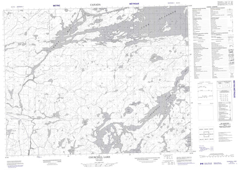
052J14 Churchill Lake Canada topo map, 1:50,000 scale
052J14 Churchill Lake NRCAN topographic map.
Includes UTM and GPS geographic coordinates (latitude and longitude). This 50k scale map is suitable for hiking, camping, and exploring, or you could frame it as a wall map.
Printed on-demand using high resolution, on heavy weight and acid free paper, or as an upgrade on a variety of synthetic materials.
Topos available on paper, Waterproof, Poly, or Tyvek. Usually shipping rolled, unless combined with other folded maps in one order.
- Product Number: NRCAN-052J14
- Parent Topo: TOPO-052J
- Map ID also known as: 052J14, 52J14
- Unfolded Size: Approximately 26" high by 36" wide
- Weight (paper map): ca. 55 grams
- Map Type: POD NRCAN Topographic Map
- Map Scale: 1:50,000
- Geographical region: Ontario, Canada
Neighboring Maps:
All neighboring Canadian topo maps are available for sale online at 1:50,000 scale.
Purchase the smaller scale map covering this area: Topo-052J
Spatial coverage:
Topo map sheet 052J14 Churchill Lake covers the following places:
- Root Bay - Flower Falls - Eagle Island - Fish Island - Wolf Island - Chiki Lake - Churchill Lake - Claim Lake - Lake St. Joseph - Little Miniss Lake - Lynxpaw Lake - Meadwell Lake - Muddu Lake - Obrey Lake - Polka Lake - St. Raphael Lake - Trist Lake - Wache Lake - Cat River - Lynxpaw Creek - Root River - St. Raphael River - Lynx Portage - Root Portage


