
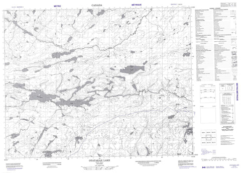
052J13 Otatakan Lake Canada topo map, 1:50,000 scale
052J13 Otatakan Lake NRCAN topographic map.
Includes UTM and GPS geographic coordinates (latitude and longitude). This 50k scale map is suitable for hiking, camping, and exploring, or you could frame it as a wall map.
Printed on-demand using high resolution, on heavy weight and acid free paper, or as an upgrade on a variety of synthetic materials.
Topos available on paper, Waterproof, Poly, or Tyvek. Usually shipping rolled, unless combined with other folded maps in one order.
- Product Number: NRCAN-052J13
- Parent Topo: TOPO-052J
- Map ID also known as: 052J13, 52J13
- Unfolded Size: Approximately 26" high by 36" wide
- Weight (paper map): ca. 55 grams
- Map Type: POD NRCAN Topographic Map
- Map Scale: 1:50,000
- Geographical region: Ontario, Canada
Neighboring Maps:
All neighboring Canadian topo maps are available for sale online at 1:50,000 scale.
Purchase the smaller scale map covering this area: Topo-052J
Spatial coverage:
Topo map sheet 052J13 Otatakan Lake covers the following places:
- Anenimus Lake - Balsawood Lake - Deadhead Lake - Fir Lake - Haig Lake - Lynxpaw Lake - Newt Lake - Otatakan Lake - Rogow Lake - Root Lake - Socket Lake - Top Lake - Balsawood Creek - Lynxpaw Creek - Newt Creek - Roadhouse River - Root River - Sharp Creek - Socket Creek - Wesley River - Yapp Creek


