
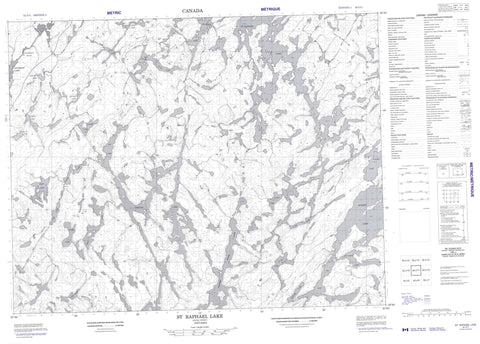
052J11 St Raphael Lake Canada topo map, 1:50,000 scale
052J11 St Raphael Lake NRCAN topographic map.
Includes UTM and GPS geographic coordinates (latitude and longitude). This 50k scale map is suitable for hiking, camping, and exploring, or you could frame it as a wall map.
Printed on-demand using high resolution, on heavy weight and acid free paper, or as an upgrade on a variety of synthetic materials.
Topos available on paper, Waterproof, Poly, or Tyvek. Usually shipping rolled, unless combined with other folded maps in one order.
- Product Number: NRCAN-052J11
- Parent Topo: TOPO-052J
- Map ID also known as: 052J11, 52J11
- Unfolded Size: Approximately 26" high by 36" wide
- Weight (paper map): ca. 55 grams
- Map Type: POD NRCAN Topographic Map
- Map Scale: 1:50,000
- Geographical region: Ontario, Canada
Neighboring Maps:
All neighboring Canadian topo maps are available for sale online at 1:50,000 scale.
Purchase the smaller scale map covering this area: Topo-052J
Spatial coverage:
Topo map sheet 052J11 St Raphael Lake covers the following places:
- Nattaway Falls - Adamhay Lake - Aki Lake - Butter Lake - Cal Lake - Carling Lake - Chiki Lake - Churchill Lake - Claim Lake - Cutcliffe Lake - Drawdi Lake - Dunn Lake - Ecar Lake - Enrae Lake - Ghost Lake - Hooker Lake - Kerine Lake - Kim Lake - Knarf Lake - Mij Lake - Muddu Lake - Peg Lake - Pert Lake - Race Lake - Ragged Wood Lake - Ragged-wood Lake - Ramlin Lake - Rao Lake - Reddit Lake - Samakt Lake - Sleen Lake - Spirit Lake - St. Raphael Lake - Tra Lake - Under Lake - Vincent Lake - Winnow Lake - Cal Creek - Highstone Creek - Kim Creek - Mij Creek - Pert Creek - Ramlin Creek - Reddit Creek - Root River - Spirit Creek - Under Creek - Winnow Creek


