
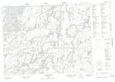
052J08 Wilkie Lake Canada topo map, 1:50,000 scale
052J08 Wilkie Lake NRCAN topographic map.
Includes UTM and GPS geographic coordinates (latitude and longitude). This 50k scale map is suitable for hiking, camping, and exploring, or you could frame it as a wall map.
Printed on-demand using high resolution, on heavy weight and acid free paper, or as an upgrade on a variety of synthetic materials.
Topos available on paper, Waterproof, Poly, or Tyvek. Usually shipping rolled, unless combined with other folded maps in one order.
- Product Number: NRCAN-052J08
- Parent Topo: TOPO-052J
- Map ID also known as: 052J08, 52J8, 52J08
- Unfolded Size: Approximately 26" high by 36" wide
- Weight (paper map): ca. 55 grams
- Map Type: POD NRCAN Topographic Map
- Map Scale: 1:50,000
- Geographical region: Ontario, Canada
Neighboring Maps:
All neighboring Canadian topo maps are available for sale online at 1:50,000 scale.
Purchase the smaller scale map covering this area: Topo-052J
Spatial coverage:
Topo map sheet 052J08 Wilkie Lake covers the following places:
- Southeast Bay - Stillar Bay - Bulmer - Chevrier - Fletcher - Furlonge - Heathcote - Jutten - McGillis - Poisson - Smye - Girard Island - Barnum Lake - Barrington Lake - Brennan Lake - Buchanan Lake - Devizes Lake - Elga Lake - Fetter Lake - Flet Lake - Flindt Lake - Foam Lake - Gault Lake - Hackett Lake - Hazel Lake - Heafur Lake - Heathcote Lake - Labelle Lake - Leggo Lake - Mystery Lake - Neston Lake - Oak Lake - One Pine Lake - Painter Lake - Pride Lake - Redhead Lake - Ringside Lake - Sassenach Lake - Savant Lake - Silver Lake - Smye Lake - Stump Lake - Survey Lake - Upper Smye Lake - Valley Lake - Virginian Lake - Wilkie Lake - Windfall Lake - Wabakimi Provincial Park - Allan Water - Elga Creek - Foam Creek - Labelle Creek - Mystery Creek - Painter Creek - Smye Creek - Virginian Creek


