
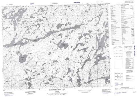
052J07 Kashaweogama Lake Canada topo map, 1:50,000 scale
052J07 Kashaweogama Lake NRCAN topographic map.
Includes UTM and GPS geographic coordinates (latitude and longitude). This 50k scale map is suitable for hiking, camping, and exploring, or you could frame it as a wall map.
Printed on-demand using high resolution, on heavy weight and acid free paper, or as an upgrade on a variety of synthetic materials.
Topos available on paper, Waterproof, Poly, or Tyvek. Usually shipping rolled, unless combined with other folded maps in one order.
- Product Number: NRCAN-052J07
- Parent Topo: TOPO-052J
- Map ID also known as: 052J07, 52J7, 52J07
- Unfolded Size: Approximately 26" high by 36" wide
- Weight (paper map): ca. 55 grams
- Map Type: POD NRCAN Topographic Map
- Map Scale: 1:50,000
- Geographical region: Ontario, Canada
Neighboring Maps:
All neighboring Canadian topo maps are available for sale online at 1:50,000 scale.
Purchase the smaller scale map covering this area: Topo-052J
Spatial coverage:
Topo map sheet 052J07 Kashaweogama Lake covers the following places:
- South Arm - Stillar Bay - Boucher - Chevrier - Conant - Jutten - McCubbin - Poisson - Thunder Bay - Ojibway Nation of Saugeen - Réserve indienne Ojibway Nation of Saugeen - Apex Lake - Armit Lake - Bowl Lake - Chivelston Lake - Conant Lake - Curlew Lake - Dickson Lake - Elam Lake - Evans Lake - Exploration Lake - Fairchild Lake - Fisher Lake - Gayo Lake - Grebe Lake - Handy Lake - Harold Lake - Harris Lake - Heron Lake - Hough Lake - Houghton Lake - Jutten Lake - Kashaweogama Lake - Lake Lee - Lawson Lake - Moosolf Lake - Neil Lake - Neston Lake - One Pine Lake - Patterson Lake - Pickerel Lake - Port Lake - Savant Lake - Shallow Lake - Shoehorn Lake - Snowbird Lake - Staunton Lake - Whimbrel Lake - Willow Lake - Winsome Lake - Barnard Creek - Hough Creek - Houghton Creek - Miniss River - Wiggle Creek


