
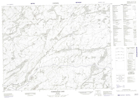
052J06 Farrington Lake Canada topo map, 1:50,000 scale
052J06 Farrington Lake NRCAN topographic map.
Includes UTM and GPS geographic coordinates (latitude and longitude). This 50k scale map is suitable for hiking, camping, and exploring, or you could frame it as a wall map.
Printed on-demand using high resolution, on heavy weight and acid free paper, or as an upgrade on a variety of synthetic materials.
Topos available on paper, Waterproof, Poly, or Tyvek. Usually shipping rolled, unless combined with other folded maps in one order.
- Product Number: NRCAN-052J06
- Parent Topo: TOPO-052J
- Map ID also known as: 052J06, 52J6, 52J06
- Unfolded Size: Approximately 26" high by 36" wide
- Weight (paper map): ca. 55 grams
- Map Type: POD NRCAN Topographic Map
- Map Scale: 1:50,000
- Geographical region: Ontario, Canada
Neighboring Maps:
All neighboring Canadian topo maps are available for sale online at 1:50,000 scale.
Purchase the smaller scale map covering this area: Topo-052J
Spatial coverage:
Topo map sheet 052J06 Farrington Lake covers the following places:
- Carpenters Narrows - Aber Lake - Apex Lake - Attack Lake - Bean Lake - Binson Lake - Bury Lake - Cub Lake - Drive Lake - Fairchild Lake - Farrington Lake - Foley Lake - Gilson Lake - Highstone Lake - Kee Lake - Kerine Lake - Kimmewin Lake - Lewis Lake - Mask Lake - Min Lake - Moose Lake - Oslo Lake - Pacific Lake - Ragged Wood Lake - Ragged-wood Lake - Rapid Lake - Rob Lake - Runway Lake - Schist Lake - Siene Lake - Spade Lake - Stanzhikimi Lake - Stone Lake - Stranger Lake - Sud Lake - Tiber Lake - Tripoli Lake - Watin Lake - Yam Lake - Yet Lake - Aber Creek - Bean Creek - Binson Creek - Drive Creek - Foley Creek - Highstone Creek - Kee Creek - Kerine Creek - Marchington River - Miniss River - Moose Creek - North River - Ragged Wood Creek - Rob Creek - Runway Creek - Sud Creek - Tripoli Creek - Watin Creek - Yet Creek


