
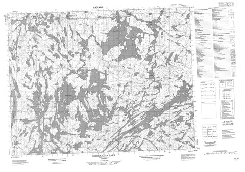
052J01 Seseganaga Lake Canada topo map, 1:50,000 scale
052J01 Seseganaga Lake NRCAN topographic map.
Includes UTM and GPS geographic coordinates (latitude and longitude). This 50k scale map is suitable for hiking, camping, and exploring, or you could frame it as a wall map.
Printed on-demand using high resolution, on heavy weight and acid free paper, or as an upgrade on a variety of synthetic materials.
Topos available on paper, Waterproof, Poly, or Tyvek. Usually shipping rolled, unless combined with other folded maps in one order.
- Product Number: NRCAN-052J01
- Parent Topo: TOPO-052J
- Map ID also known as: 052J01, 52J1, 52J01
- Unfolded Size: Approximately 26" high by 36" wide
- Weight (paper map): ca. 55 grams
- Map Type: POD NRCAN Topographic Map
- Map Scale: 1:50,000
- Geographical region: Ontario, Canada
Neighboring Maps:
All neighboring Canadian topo maps are available for sale online at 1:50,000 scale.
Purchase the smaller scale map covering this area: Topo-052J
Spatial coverage:
Topo map sheet 052J01 Seseganaga Lake covers the following places:
- Bertrand - Chevrier - Furlonge - Heathcote - Manion - McLaurin - Star Island - Allard Lake - Antler Lake - Arrow Lake - Boat Lake - Cameo Lake - Chappelle Lake - Corre Lake - Darce Lake - Fetter Lake - Finger Lake - Fog Lake - Harmon Lake - Heathcote Lake - Kangaroo Lake - Kawaweogama Lake - Loch Gordon - Manion Lake - McEwen Lake - Peggie Lake - Savoyard Lake - Seseganaga Lake - Sunray Lake - Swiss Lake - Tom Lake - Vanessa Lake - Wallaby Lake - Wapikaimaski Lake - Wellington Lake - Wish Lake - Brightsand River Provincial Park - Wabakimi Provincial Park - Brightsand River - Manion Creek - Rocky River - Allan Water - Allanwater - Allanwater Bridge - Flindt Landing - Harvey


