
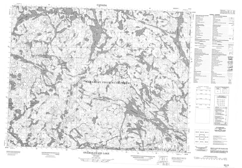
052I05 Onamakawash Lake Canada topo map, 1:50,000 scale
052I05 Onamakawash Lake NRCAN topographic map.
Includes UTM and GPS geographic coordinates (latitude and longitude). This 50k scale map is suitable for hiking, camping, and exploring, or you could frame it as a wall map.
Printed on-demand using high resolution, on heavy weight and acid free paper, or as an upgrade on a variety of synthetic materials.
Topos available on paper, Waterproof, Poly, or Tyvek. Usually shipping rolled, unless combined with other folded maps in one order.
- Product Number: NRCAN-052I05
- Parent Topo: TOPO-052I
- Map ID also known as: 052I05, 52I5, 52I05
- Unfolded Size: Approximately 26" high by 36" wide
- Weight (paper map): ca. 55 grams
- Map Type: POD NRCAN Topographic Map
- Map Scale: 1:50,000
- Geographical region: Ontario, Canada
Neighboring Maps:
All neighboring Canadian topo maps are available for sale online at 1:50,000 scale.
Purchase the smaller scale map covering this area: Topo-052I
Spatial coverage:
Topo map sheet 052I05 Onamakawash Lake covers the following places:
- Brennan Falls - Baldhead Lake - Ballast Lake - Beagle Lake - Berry Lake - Black Bear Lake - Brennan Lake - Cache Lake - Change Lake - Chipmunk Lake - Dagger Lake - Elf Lake - Granite Lake - Hallot Lake - Jeep Lake - Kawa Lake - Mystery Lake - Onamakawash Lake - Osprey Lake - Otter Bluff Lake - Redhead Lake - Sacred Lake - Shawanabis Lake - Smoothrock Lake - Snake Lake - Spring Lake - Surprise Lake - Ted Lake - Tempest Lake - Van Ness Lake - Windfall Lake - Wabakimi Provincial Park - Ballast Creek - Berry Creek - Lookout River - Nemo River - Secord Creek - Fee Spur - Ogaki


