
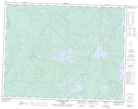
052I03 Wigwasan Lake Canada topo map, 1:50,000 scale
052I03 Wigwasan Lake NRCAN topographic map.
Includes UTM and GPS geographic coordinates (latitude and longitude). This 50k scale map is suitable for hiking, camping, and exploring, or you could frame it as a wall map.
Printed on-demand using high resolution, on heavy weight and acid free paper, or as an upgrade on a variety of synthetic materials.
Topos available on paper, Waterproof, Poly, or Tyvek. Usually shipping rolled, unless combined with other folded maps in one order.
- Product Number: NRCAN-052I03
- Parent Topo: TOPO-052I
- Map ID also known as: 052I03, 52I3, 52I03
- Unfolded Size: Approximately 26" high by 36" wide
- Weight (paper map): ca. 55 grams
- Map Type: POD NRCAN Topographic Map
- Map Scale: 1:50,000
- Geographical region: Ontario, Canada
Neighboring Maps:
All neighboring Canadian topo maps are available for sale online at 1:50,000 scale.
Purchase the smaller scale map covering this area: Topo-052I
Spatial coverage:
Topo map sheet 052I03 Wigwasan Lake covers the following places:
- Altar Lake - Boulder Lake - Bukemiga Lake - Clearwater Lake - Collins Lake - Crombie Lake - Curve Lake - Inspiration Lake - Kenakskaniss Lake - Kopka Lake - Machine Gun Lake - Mackenzie Lake - Maggotte Lake - Marrin Lake - Mattice Lake - McAuley Lake - McIntyre Lake - McKenzie Lake - McLaurin Lake - Mountain Lake - Mundell Lake - Nameiben Lake - Norwood Lake - Obonga Lake - Pillar Lake - Pishidgi Lake - Rushbay Lake - Shaw Lake - Shawanabis Lake - Sliver Lake - Spangle Lake - Tunnel Lake - Tuttle Lake - Vale Lake - Wabinosh Lake - Waweig Lake - Wigwasan Lake - Kopka River Provincial Park - Wabakimi Provincial Park - Badwater Creek - Burn Creek - Collins River - Kopka River - Vale Creek - Wabinosh River - Whalen River - Mink Bridge Portage - Mountain Portage - Rock Portage


