
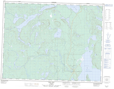
052H14 Gull Bay Canada topo map, 1:50,000 scale
052H14 Gull Bay NRCAN topographic map.
Includes UTM and GPS geographic coordinates (latitude and longitude). This 50k scale map is suitable for hiking, camping, and exploring, or you could frame it as a wall map.
Printed on-demand using high resolution, on heavy weight and acid free paper, or as an upgrade on a variety of synthetic materials.
Topos available on paper, Waterproof, Poly, or Tyvek. Usually shipping rolled, unless combined with other folded maps in one order.
- Product Number: NRCAN-052H14
- Parent Topo: TOPO-052H
- Map ID also known as: 052H14, 52H14
- Unfolded Size: Approximately 26" high by 36" wide
- Weight (paper map): ca. 55 grams
- Map Type: POD NRCAN Topographic Map
- Map Scale: 1:50,000
- Geographical region: Ontario, Canada
Neighboring Maps:
All neighboring Canadian topo maps are available for sale online at 1:50,000 scale.
Purchase the smaller scale map covering this area: Topo-052H
Spatial coverage:
Topo map sheet 052H14 Gull Bay covers the following places:
- Duck Bay - Gull Bay - Kaiashk Bay - Northwest Bay - Western Bay - Gull River 55 - Gull River Indian Reserve 55 - Réserve indienne Gull River 55 - Duck Bay Island - Awl Lake - Carder Lake - Cooney Lake - Crevasse Lake - Cry Lake - Detour Lake - Duck Lake - Greske Lake - Guay Lake - Havoc Lake - Hornick Lake - Jackinnes Lake - Jenks Lake - Johnspine Lake - Kopka Lake - Lac Nipigon - Lake Nipigon - Log Lake - Mount Lake - Obonga Lake - Osemigwemowin Lake - Ottertooth Lake - Pangloss Lake - Pantagruel Lake - Rabelais Lake - Renaud Lake - Roder Lake - Royer Lake - Shaw Lake - Tuckaway Lake - Vooges Lake - Kopka River Provincial Park - Ottertooth Conservation Reserve - Pantagruel Creek Provincial Nature Reserve - Deshaamwin Rapids - Pogojiwaenaun Rapids - Awl Creek - Blackwater Creek - Crazy Creek - Drunk Creek - Duck Creek - Gull River - Havoc Creek - Hornick Creek - Kaiashk River - Lawrence Creek - Ottertooth Creek - Pantagruel Creek - Rabelais Creek - Scalp Creek - Voltaire Creek - Vooges Creek - Wig Creek - Gull Bay


