
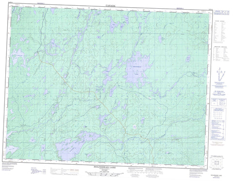
052H12 Holinshead Lake Canada topo map, 1:50,000 scale
052H12 Holinshead Lake NRCAN topographic map.
Includes UTM and GPS geographic coordinates (latitude and longitude). This 50k scale map is suitable for hiking, camping, and exploring, or you could frame it as a wall map.
Printed on-demand using high resolution, on heavy weight and acid free paper, or as an upgrade on a variety of synthetic materials.
Topos available on paper, Waterproof, Poly, or Tyvek. Usually shipping rolled, unless combined with other folded maps in one order.
- Product Number: NRCAN-052H12
- Parent Topo: TOPO-052H
- Map ID also known as: 052H12, 52H12
- Unfolded Size: Approximately 26" high by 36" wide
- Weight (paper map): ca. 55 grams
- Map Type: POD NRCAN Topographic Map
- Map Scale: 1:50,000
- Geographical region: Ontario, Canada
Neighboring Maps:
All neighboring Canadian topo maps are available for sale online at 1:50,000 scale.
Purchase the smaller scale map covering this area: Topo-052H
Spatial coverage:
Topo map sheet 052H12 Holinshead Lake covers the following places:
- Agar Lake - Bilkey Lake - Blackstar Lake - Blueboy Lake - Colwill Lake - Conick Lake - Cressey Lake - Damon Lake - Decross Lake - Donald Lake - Duckshead Lake - Fatima Lake - Garden Lake - Gillard Lake - Goodlad Lake - Grant Lake - Holinshead Lake - Kearns Lake - Kennah Lake - Kitchiwatchi Lake - Kowbel Lake - Kynman Lake - Lighthall Lake - Little Moraine Lake - Madden Lake - Majata Lake - Martel Lake - McMullen Lake - Naydo Lake - Obiscutay Lake - Pamplin Lake - Pythias Lake - Ruffo Lake - Stonehouse Lake - Tucci Lake - Upper Pantagruel Lake - Whymark Lake - Yade Lake - Pantagruel Creek Provincial Nature Reserve - Roaring Rapids - Armistice Creek - Damon Creek - Grew River - Gull River - Holinshead Creek - Kaiashk River - Kashishibog River - McMullen Creek - Mooseland River - Ottertooth Creek - Pantagruel Creek - Roaring River - Weaver River


