
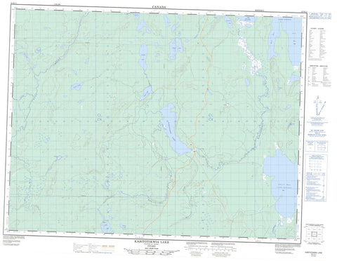
052H11 Kabitotikwia Lake Canada topo map, 1:50,000 scale
052H11 Kabitotikwia Lake NRCAN topographic map.
Includes UTM and GPS geographic coordinates (latitude and longitude). This 50k scale map is suitable for hiking, camping, and exploring, or you could frame it as a wall map.
Printed on-demand using high resolution, on heavy weight and acid free paper, or as an upgrade on a variety of synthetic materials.
Topos available on paper, Waterproof, Poly, or Tyvek. Usually shipping rolled, unless combined with other folded maps in one order.
- Product Number: NRCAN-052H11
- Parent Topo: TOPO-052H
- Map ID also known as: 052H11, 52H11
- Unfolded Size: Approximately 26" high by 36" wide
- Weight (paper map): ca. 55 grams
- Map Type: POD NRCAN Topographic Map
- Map Scale: 1:50,000
- Geographical region: Ontario, Canada
Neighboring Maps:
All neighboring Canadian topo maps are available for sale online at 1:50,000 scale.
Purchase the smaller scale map covering this area: Topo-052H
Spatial coverage:
Topo map sheet 052H11 Kabitotikwia Lake covers the following places:
- Chief Bay - East Bay - Gull Bay - Kaiashk Bay - Barefoot Lakes - Bobalong Lake - Candide Lake - Danby Lake - Geikie Lake - Greggio Lake - Grimm Lake - Johnspine Lake - Kabitotikwia Lake - Kitchen Lake - Lac Nipigon - Lake Nipigon - Pangloss Lake - Penny Lake - Rumpel Lake - Solo Lake - Voltaire Lake - Weary Lake - Gull River Provincial Park - Kabitotikwia River Provincial Nature Reserve - Kaiashk Provincial Nature Reserve - Pantagruel Creek Provincial Nature Reserve - Candide Creek - Gull River - Kabitotikwia River - Kaiashk River - McConnell Creek - Poshkokagan River - Roaring River - Voltaire Creek


