
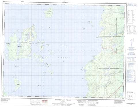
052H09 Shakespeare Island Canada topo map, 1:50,000 scale
052H09 Shakespeare Island NRCAN topographic map.
Includes UTM and GPS geographic coordinates (latitude and longitude). This 50k scale map is suitable for hiking, camping, and exploring, or you could frame it as a wall map.
Printed on-demand using high resolution, on heavy weight and acid free paper, or as an upgrade on a variety of synthetic materials.
Topos available on paper, Waterproof, Poly, or Tyvek. Usually shipping rolled, unless combined with other folded maps in one order.
- Product Number: NRCAN-052H09
- Parent Topo: TOPO-052H
- Map ID also known as: 052H09, 52H9, 52H09
- Unfolded Size: Approximately 26" high by 36" wide
- Weight (paper map): ca. 55 grams
- Map Type: POD NRCAN Topographic Map
- Map Scale: 1:50,000
- Geographical region: Ontario, Canada
Neighboring Maps:
All neighboring Canadian topo maps are available for sale online at 1:50,000 scale.
Purchase the smaller scale map covering this area: Topo-052H
Spatial coverage:
Topo map sheet 052H09 Shakespeare Island covers the following places:
- Alexandra Harbour - Bish Bay - Colter's Harbour - Cregie's Harbour - Grant Point Harbour - Hat Mountain Harbour - High Hill Harbour - Lesperance Harbour - Lion Bay - McRitchie Shortcut - Mink Harbour - North High Hill Harbour - South High Hill Harbour - West's Bay - Devil's Walk - Abeki Point - Grant Point - King's Head - Patch Point - Pay Point - Poplar Point - Speke Point - Dorothea - Eva - Kitto - Sandra - Summers - Thunder Bay - Alexandra Island - Amikwian Island - Assef Islands - Ball Island - Black Island - Carson Islands - Cedar Island - Dockrey Islands - Eaglenest Islands - Eight Mile Island - Flatland Island - Hat Mountain Island - Katatota Island - Little Flatland Island - Little Lonely Island - Lone Island - Love Island - Luck Island - Macoun Islands - Nawnaga Island - Pewabis Island - Preston Island - Red Willow Islands - Shakespeare Island - Wesab Island - Big Dawson Lake - Dragonfly Lake - Ducks Egg Lake - Eva Lake - Fairloch Lake - Kirkup Lake - Lac Nipigon - Lake Nipigon - Mary Jane Lake - Paddy's Lake - Princess Chain of Lakes - Princess Lake - Rea Lake - Teapot Lake - Undersill Lake - Vanooyen Lake - Paupuskeese Mountain - Beardmore - Nakina - Blackwater River - High Hill Creek - Littlelake River - Namewaminikan River - Sandy Creek - Standingstone River - Greenstone - Poplar Lodge - Warneford


