
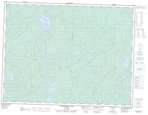
052H06 Cheeseman Lake Canada topo map, 1:50,000 scale
052H06 Cheeseman Lake NRCAN topographic map.
Includes UTM and GPS geographic coordinates (latitude and longitude). This 50k scale map is suitable for hiking, camping, and exploring, or you could frame it as a wall map.
Printed on-demand using high resolution, on heavy weight and acid free paper, or as an upgrade on a variety of synthetic materials.
Topos available on paper, Waterproof, Poly, or Tyvek. Usually shipping rolled, unless combined with other folded maps in one order.
- Product Number: NRCAN-052H06
- Parent Topo: TOPO-052H
- Map ID also known as: 052H06, 52H6, 52H06
- Unfolded Size: Approximately 26" high by 36" wide
- Weight (paper map): ca. 55 grams
- Map Type: POD NRCAN Topographic Map
- Map Scale: 1:50,000
- Geographical region: Ontario, Canada
Neighboring Maps:
All neighboring Canadian topo maps are available for sale online at 1:50,000 scale.
Purchase the smaller scale map covering this area: Topo-052H
Spatial coverage:
Topo map sheet 052H06 Cheeseman Lake covers the following places:
- Boomer Lake - Bourdon Lake - Box Lake - Can Opener Lake - Cantrill Lake - Cheeseman Lake - Chesakan Lake - Circle Lake - Dubroy Lake - Farlette Lake - Farmer Lake - Geikie Lake - Gennis Lake - Ground Lake - Handley Lake - Laughing Bird Lake - Lever Lake - Little Poshkokagan Lake - Lochnan Lake - Lunch Lake - Meers Lake - Merkley Lake - Nadon Lake - Nault Lake - Ollett Lake - Pebble Lake - Poshkokagan Lake - Pucker Lake - Rabbitbelly Lake - Ripple Lake - Rombough Lake - Sauerbrei Lake - Scollan Lake - Spevak Lake - Thread Lake - Trojek Lake - Upper Wabikon Lake - Wabikon Lake - Whistle Lake - Whitton Lake - Boulder Creek - Chesakan Creek - Gull River - Kabitotikwia River - Kaiashk River - Lime Creek - Little Poshkokagan Creek - Lunch Creek - Max Creek - McConnell Creek - Poshkokagan River - Sauerbrei Creek - Thread Creek - Wabikon Creek - Whistle Creek


