
052H01 Nipigon Canada topo map, 1:50,000 scale
052H01 Nipigon NRCAN topographic map.
Includes UTM and GPS geographic coordinates (latitude and longitude). This 50k scale map is suitable for hiking, camping, and exploring, or you could frame it as a wall map.
Printed on-demand using high resolution, on heavy weight and acid free paper, or as an upgrade on a variety of synthetic materials.
Topos available on paper, Waterproof, Poly, or Tyvek. Usually shipping rolled, unless combined with other folded maps in one order.
- Product Number: NRCAN-052H01
- Parent Topo: TOPO-052H
- Map ID also known as: 052H01, 52H1, 52H01
- Unfolded Size: Approximately 26" high by 36" wide
- Weight (paper map): ca. 55 grams
- Map Type: POD NRCAN Topographic Map
- Map Scale: 1:50,000
- Geographical region: Ontario, Canada
Neighboring Maps:
All neighboring Canadian topo maps are available for sale online at 1:50,000 scale.
Purchase the smaller scale map covering this area: Topo-052H
Spatial coverage:
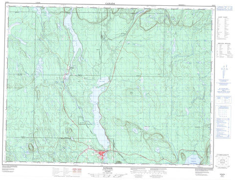
Topo map sheet 052H01 Nipigon covers the following places:
- Cameron's Pool - Duncan Bay - East Arm - Fire Hill Bay - Frasier Bay - Indian Bay - Kama Bay - Mazokamah Bay - Mission Bay - Nipigon Bay - Otter Bay - Smith Bay - Steamboat Bay - Sulphite Bay - 91 - 92 - Booth - Church - Corrigal - Hele - Ledger - McIvor - Nipigon - Patience - Purdom - Lake Helen 53A - Lake Helen Indian Reserve 53A - Red Rock 53 - Red Rock Indian Reserve 53 - Réserve indienne Lake Helen 53A - Réserve indienne Red Rock 53 - Bach Lake - Boom Lake - Bouchard Lake - Carlotta Lake - Chopper Lake - Cobley Lake - Deer Lake - Dolan Lake - Doze Lake - East Moseau Lake - Elizabeth Lake - Fire Hill Lake - Firehill Lake - Fournier Lake - Gretel Lake - Hansi Lake - Hanson Lake - Hawaiian Lake - Helen Lake - Hogan Lake - Ivan Lake - Jessie Lake - Lac Supérieur - Lake Superior - Limestone Lake - Little Moseau Lake - Lloyd Lake - Lofquist Lake - Malborne Lake - Male Lake - McIvor Lake - Meat Axe Lake - Mignet Lake - Miller Lake - Moseau Lake - No Good Lake - Polly Lake - Purdom Lake - Rains Lake - Second Hansi Lake - Shoepac Lake - Stillwater Lake - Stretton Lake - Susie Lake - The Lagoon - Tractor Lake - Wanogu Lake - Wee Polly Lake - Cedar Mountain - Doghead Mountain - Fire Hill - Kama Hills - Nipigon - Kama Cliffs Conservation Reserve - Kama Hills Provincial Nature Reserve - Nipigon River Conservation Reserve - Ruby Lake Provincial Park - Big Trout Creek - Boom Creek - Booth Creek - Buckle Creek - Cash Creek - Clay Hill Creek - East Jackfish River - Fire Hill Creek - Firehill Creek - Frazer Creek - Gelapa Creek - Gretel Creek - Hanson Creek - Jackfish River - Limestone Creek - Little Trout Creek - Maki Creek - Meat Axe Creek - Mignet Creek - Moseau Creek - Nipigon River - North Trout Creek - Ozone Creek - Polly Creek - Purdom Creek - Rivière Nipigon - South Trout Creek - Stillwater Creek - Stretton Creek - Cameron Falls - Fire Hill - Hogarth - Ivan - MacAskill - Mileage 56 - Nipigon - Ozone - Paju - Parmacheene


