
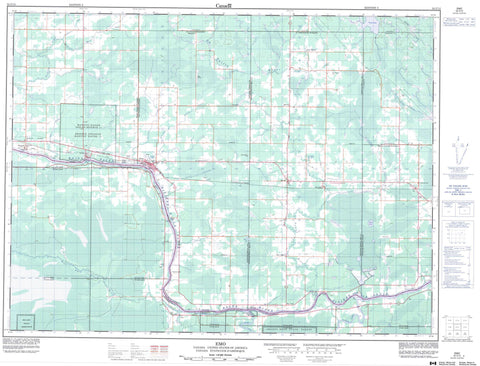
052C12 Emo Canada topo map, 1:50,000 scale
052C12 Emo NRCAN topographic map.
Includes UTM and GPS geographic coordinates (latitude and longitude). This 50k scale map is suitable for hiking, camping, and exploring, or you could frame it as a wall map.
Printed on-demand using high resolution, on heavy weight and acid free paper, or as an upgrade on a variety of synthetic materials.
Topos available on paper, Waterproof, Poly, or Tyvek. Usually shipping rolled, unless combined with other folded maps in one order.
- Product Number: NRCAN-052C12
- Parent Topo: TOPO-052C
- Map ID also known as: 052C12, 52C12
- Unfolded Size: Approximately 26" high by 36" wide
- Weight (paper map): ca. 55 grams
- Map Type: POD NRCAN Topographic Map
- Map Scale: 1:50,000
- Geographical region: Ontario, Canada
Neighboring Maps:
All neighboring Canadian topo maps are available for sale online at 1:50,000 scale.
Purchase the smaller scale map covering this area: Topo-052C
Spatial coverage:
Topo map sheet 052C12 Emo covers the following places:
- Aylsworth - Barwick - Burriss - Carpenter - Crozier - Dance - Devlin - Dobie - Kingsford - Lash - Mather - Miscampbell - Rainy River - Roddick - Roseberry - Shenston - Woodyatt - Manitou Rapids 11 - Manitou Rapids Indian Reserve 11 - Réserve indienne Manitou Rapids 11 - Conmee Island - Watrous Island - Kehl Lake - Mud Lake - Wasaw Lake - Alberton - Chapple - Emo - La Vallee - Manitou Rapids - Boucher Creek - Everett Creek - Frog Creek - Hayman Creek - Kitchen Creek - La Vallée River - Locking Creek - Lyon Creek - Manitou Creek - Mather I Creek - Mather II Creek - Rainy River - Rivière à la Pluie - Sims Creek - Sturgeon Creek - Wasaw Creek - Watson Creek - Wilson Creek - Wolf Creek - Aylsworth - Barnhart - Barwick - Big Fork - Box Alder - Burriss - Chapple - Crozier - Dermid - Devlin - Emo - Isherwood - La Vallée - Lake Wasaw - Matherford


