
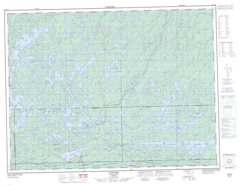
052B14 Sapawe Canada topo map, 1:50,000 scale
052B14 Sapawe NRCAN topographic map.
Includes UTM and GPS geographic coordinates (latitude and longitude). This 50k scale map is suitable for hiking, camping, and exploring, or you could frame it as a wall map.
Printed on-demand using high resolution, on heavy weight and acid free paper, or as an upgrade on a variety of synthetic materials.
Topos available on paper, Waterproof, Poly, or Tyvek. Usually shipping rolled, unless combined with other folded maps in one order.
- Product Number: NRCAN-052B14
- Parent Topo: TOPO-052B
- Map ID also known as: 052B14, 52B14
- Unfolded Size: Approximately 26" high by 36" wide
- Weight (paper map): ca. 55 grams
- Map Type: POD NRCAN Topographic Map
- Map Scale: 1:50,000
- Geographical region: Ontario, Canada
Neighboring Maps:
All neighboring Canadian topo maps are available for sale online at 1:50,000 scale.
Purchase the smaller scale map covering this area: Topo-052B
Spatial coverage:
Topo map sheet 052B14 Sapawe covers the following places:
- Ash Bay - Blind Bay - Bradshaw Bay - Broken Leg Bay - Dump Bay - East Bay - Flood Bay - Hawk Bay - Lequyer Bay - Light Bay - Lower Seine Bay - Lynxhead Bay - North Bay - Reserve Bay - Rock Bay - Sawbill Bay - Seine Bay - South Bay - Trap Bay - Turtle Bay - Upper Seine Bay - Fallenrock Point - Jackpine Point - McGinnis Point - Burnt Narrows - Hoist Narrows - Jackfish Narrows - Lynxhead Narrows - Swift Narrows - Camp Falls - High Falls - Island Falls - Lower Falls - Turtle Falls - Upper Falls - Hutchinson - McCaul - Ramsay Wright - Schwenger - Trottier - Weaver - Cochran Island - Garbage Island - Gold Mine Island - Reserve Island - Star Island - Attraction Lake - Bellmore Lake - Bergman Lakes - Bickford Lake - Black Lake - Blue Lake - Bog Lake - Boyce Lake - Bradshaw Lake - Broadbent Lake - Bunny Lake - Byers Lake - Cain Lake - Camp Two Lake - Caskill Lake - Clement Lake - Companion Lake - Companion Lakes - Course Lake - Crooked Pine Lake - Day Lake - Detach Lake - Disk Lake - Double Track Lake - Dunnet Lake - Durie Lake - Elbow Lake - Elliott Lake - Farley Lake - Finlayson Lake - Franklin Lake - Gold Lake - Granite Lake - Gray Lake - Helmet Lake - Heward Lake - Hives Lake - Husband Lake - Iron Lake - Kawene Lake - Keckush Lake - Kings Lake - Kneecap Lake - Lake Forty-four - Lance Lake - Lequyer Lake - Letain Lake - Light Lake - Lily Lake - Little Caskill Lake - Lizard Lake - Lloyd Lake - Lodge Lake - Lower Seine Lake - Mac Lake - Magnetic Lake - Mark Lake - Marmion Lake - Matson Lake - Mayhew Lake - Melema Lake - Mercutio Lake - Messada Lake - Mitta Lake - Moses Lake - Mud Lake - Nemo Lake - Nowquabic Lake - Ogema Lake - Osinawi Lake - Peltier Lake - Plateau Lake - Plute Lake - Premier Lake - Red Lake - Sabawi Lake - Sapawe Lake - Sawmill Lake - Scotty Lake - Secret Lake - Shinbone Lake - Singleton Lake - Smith Lake - Snowball Lake - St. Patrick Lake - Steccno Lake - Stemwood Lake - Sykes Lake - The Pothole - Tower Lake - Trappers Lake - Tyrell Lake - Upham Lake - Vista Lake - Wabash Lake - Whiskeyjack Lake - Wife Lake - Wilson Lake - Atikokan - Camp Six Rapids - Long Rapids - Atikokan River - Bar Creek - Bellmore Creek - Caribou River - Cornell Creek - Hole-in-the-Wall - Light Creek - Lumby Creek - Mercutio River - Seine River - Seventeen Mile Creek - Snowball Creek - St. Patrick Creek - Blalock - Hematite - Kawene - Sapawe


