
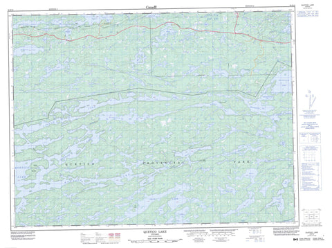
052B12 Quetico Lake Canada topo map, 1:50,000 scale
052B12 Quetico Lake NRCAN topographic map.
Includes UTM and GPS geographic coordinates (latitude and longitude). This 50k scale map is suitable for hiking, camping, and exploring, or you could frame it as a wall map.
Printed on-demand using high resolution, on heavy weight and acid free paper, or as an upgrade on a variety of synthetic materials.
Topos available on paper, Waterproof, Poly, or Tyvek. Usually shipping rolled, unless combined with other folded maps in one order.
- Product Number: NRCAN-052B12
- Parent Topo: TOPO-052B
- Map ID also known as: 052B12, 52B12
- Unfolded Size: Approximately 26" high by 36" wide
- Weight (paper map): ca. 55 grams
- Map Type: POD NRCAN Topographic Map
- Map Scale: 1:50,000
- Geographical region: Ontario, Canada
Neighboring Maps:
All neighboring Canadian topo maps are available for sale online at 1:50,000 scale.
Purchase the smaller scale map covering this area: Topo-052B
Spatial coverage:
Topo map sheet 052B12 Quetico Lake covers the following places:
- Batchewaung Bay - Brown's Bay - Little Batchewaung Bay - West Bay - Mosquito Point - Chub Narrows - Pickerel Narrows - Sturgeon Narrows - Sue Falls - Coffin Island - Eden Island - Ivy Island - Pine Island - Abbess Lake - Albert Lake - Antoine Lake - Badwater Lake - Banning Lake - Batchewaung Lake - Bee Lake - Bewag Lake - Big Bend Lake - Brown Lake - Burntside Lake - Cain Lake - Canal Lake - Caribus Lake - Ceph Lake - Chub Lake - Cirrus Lake - Cole Lake - Conk Lake - Draper Lake - Elizabeth Lake - Halliday Lake - Hamburg Lake - Hidden Lake - Jackfish Lake - Jean Lake - Jesse Lake - Jim Lake - Kasakokwog Lake - Kemuel Lake - Lakin Lake - Lark Lake - Law Lake - Lerome Lake - Little Brown Lake - Little Jean Lake - Little McCaulay Lake - Lonely Lake - Lynx Lake - Malone Lake - Maria Lake - McAlpine Lake - McCaulay Lake - McOuat Lake - Narrow Lake - North Quinn Lake - Olympia Lake - Oriana Lake - Owl Lake - Perch Lake - Plateau Lake - Question Lakes - Quetico Lake - Quinn Lake - Ram Lake - Red Pine Lake - Robin Lake - Smudge Lake - Snipe Lake - Soho Lake - Sturgeon Lake - Sue Lake - Twinling Lake - Walter Lake - Yeh Lake - Atikokan - Quetico Provincial Park - Atikokan River - Cirrus Creek - Jackfish Creek - Lakin Creek - Lonely Creek - Malone Creek - McAlpine Creek - McCaulay Creek - McOuat Creek - Oriana Creek - Seine River - Cedar Portage - McAlpine Portage - Banning - Elizabeth


