
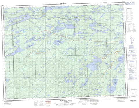
052B10 Burchell Lake Canada topo map, 1:50,000 scale
052B10 Burchell Lake NRCAN topographic map.
Includes UTM and GPS geographic coordinates (latitude and longitude). This 50k scale map is suitable for hiking, camping, and exploring, or you could frame it as a wall map.
Printed on-demand using high resolution, on heavy weight and acid free paper, or as an upgrade on a variety of synthetic materials.
Topos available on paper, Waterproof, Poly, or Tyvek. Usually shipping rolled, unless combined with other folded maps in one order.
- Product Number: NRCAN-052B10
- Parent Topo: TOPO-052B
- Map ID also known as: 052B10, 52B10
- Unfolded Size: Approximately 26" high by 36" wide
- Weight (paper map): ca. 55 grams
- Map Type: POD NRCAN Topographic Map
- Map Scale: 1:50,000
- Geographical region: Ontario, Canada
Neighboring Maps:
All neighboring Canadian topo maps are available for sale online at 1:50,000 scale.
Purchase the smaller scale map covering this area: Topo-052B
Spatial coverage:
Topo map sheet 052B10 Burchell Lake covers the following places:
- Lucky Bay - Sawmill Bay - Lookout Point - Otter Falls - Ames - Moss - Rainy River - Thunder Bay - Birch Island - Cedar Island - Child's Island - Hess' Island - Pine Island - Spruce Island - Two Mile Island - Arbour Lake - Baril Lake - Bass Lake - Boundary Lake - Brûlé Lake - Burchell Lake - Church Lake - Crayfish Lake - Crescent Lake - Deman Lake - Elbow Lake - Firefly Lake - Fork Lake - Fortes Lake - Fountain Lake - Fountain Lake - Grano Lake - Green Lake - Grouse Lake - Height of Land Lake - Hermia Lake - Hitch Lake - Huronian Lake - Kabatay Lake - Katherine Lake - Kawawiagamak Lake - Keego Lake - Laughren Lake - Laughren Lake - Lily Lake - Little Trout Lake - Long Lake - Mackie Lake - Meeting Lake - Moss Lake - Otter Lake - Pete's Pond - Rainbow Lake - Rolling Lake - Rudge Lake - Sitches Lake - Skimpole Lake - Snodgrass Lake - Span Lake - Squeers Lake - Stetham Lake - Tico Lake - Tilly Lake - Upper Shebandowan Lake - Watershed Lake - Waverly Lake - Whitefish Lake - Windigo Lake - Windigoostigwan Lake - Zephira Lake - Quetico Provincial Park - Baptism Creek - Cache River - Crayfish Creek - Deatys Creek - Firefly Creek - Huronian River - Kashabowie River - Obadinaw River - Otter Creek - Rolling Creek - Squeers Creek - Tilly Creek - Waverly Creek - Wawiag River - Zephira Creek - Brûlé Portage - Burchell Lake - Huronian - Keego - Owakonze - Planet - Quetico


