
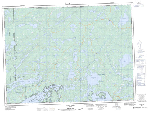
052B07 Mowe Lake Canada topo map, 1:50,000 scale
052B07 Mowe Lake NRCAN topographic map.
Includes UTM and GPS geographic coordinates (latitude and longitude). This 50k scale map is suitable for hiking, camping, and exploring, or you could frame it as a wall map.
Printed on-demand using high resolution, on heavy weight and acid free paper, or as an upgrade on a variety of synthetic materials.
Topos available on paper, Waterproof, Poly, or Tyvek. Usually shipping rolled, unless combined with other folded maps in one order.
- Product Number: NRCAN-052B07
- Parent Topo: TOPO-052B
- Map ID also known as: 052B07, 52B7, 52B07
- Unfolded Size: Approximately 26" high by 36" wide
- Weight (paper map): ca. 55 grams
- Map Type: POD NRCAN Topographic Map
- Map Scale: 1:50,000
- Geographical region: Ontario, Canada
Neighboring Maps:
All neighboring Canadian topo maps are available for sale online at 1:50,000 scale.
Purchase the smaller scale map covering this area: Topo-052B
Spatial coverage:
Topo map sheet 052B07 Mowe Lake covers the following places:
- Curran Bay - Moose Bay - Moose Bay - Northeast Arm - Powell's Bay - Rat Bay - Savage Bay - Southeast Bay - Trafalgar Bay - Boundary Point - Sentinel Point - North Channel - Trafalgar Channel - Moss - Eagles Nest Island - Hunter Island - Paradise Island - Red Pine Island - Admit Lake - Amit Lake - Belaire Lake - Bemar Lake - Big Ghee Lake - Bitchu Lake - Blind Beaver Lake - Buda Lake - Cannibal Lake - Clay Lake - Connecting Lake - Cullen Lake - Cunniah Lake - Dart Lake - Deacon Lake - Deadman's Lake - Deatys Lake - District Lake - Elevation Lake - Ghee Lake - Gloomy Lake - Greenwood Lake - Hamlin Lake - Hashie Lake - Heart Lake - Hew Lake - Home Lake - Hood Lake - Island Lake - Jacks Lake - Koss Lake - Little Falls Lake - Little Red Fox Lake - Long Lake - Lost Lake - Mack Lake - Madalaine Lake - McGinnis Lake - McKenzie Lake - Minute Lake - Moose Bay Lake - Moose Lake - Mowe Lake - Mud Lake - Myrt Lake - Need Lake - Nelson Lake - Northern Light Lake - Nulla Lake - Otter Lake - Pats Lake - Plummes Lake - Pollywog Lake - Powell Lake - Redfox Lake - Ross Lake - Saganaga Lake - Saganagons Lake - Scorch Island Lake - Shaco Lake - Singabits Lake - Sleigh Lake - Slush Lake - Smally Lake - Sunbow Lake - Term Lake - The Cloverleaf Lakes - The Minnowpond - Tiny Long Lake - Titmarsh Lake - Trout Lake - Twinhouse Lake - Wantelto Lake - Whisker Lake - Whitefish Lake - Windblown Lake - Wolf Lake - Wye Lake - Arrowhead Peninsula Provincial Nature Reserve - Greenwood Lake Conservation Reserve - La Verendrye Provincial Park - LaVerendrye Provincial Park - Quetico Provincial Park - Bemar Creek - Cunniah Creek - Deatys Creek - Greenwood River - Mack Creek - Nelson Creek - Obadinaw River - Plummes Creek - Ross Creek - Sleigh Creek - Titmarsh Creek - Wawiag River - Weikwabinonaw River


