
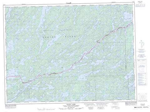
052B03 Knife Lake Canada topo map, 1:50,000 scale
052B03 Knife Lake NRCAN topographic map.
Includes UTM and GPS geographic coordinates (latitude and longitude). This 50k scale map is suitable for hiking, camping, and exploring, or you could frame it as a wall map.
Printed on-demand using high resolution, on heavy weight and acid free paper, or as an upgrade on a variety of synthetic materials.
Topos available on paper, Waterproof, Poly, or Tyvek. Usually shipping rolled, unless combined with other folded maps in one order.
- Product Number: NRCAN-052B03
- Parent Topo: TOPO-052B
- Map ID also known as: 052B03, 52B3, 52B03
- Unfolded Size: Approximately 26" high by 36" wide
- Weight (paper map): ca. 55 grams
- Map Type: POD NRCAN Topographic Map
- Map Scale: 1:50,000
- Geographical region: Ontario, Canada
Neighboring Maps:
All neighboring Canadian topo maps are available for sale online at 1:50,000 scale.
Purchase the smaller scale map covering this area: Topo-052B
Spatial coverage:
Topo map sheet 052B03 Knife Lake covers the following places:
- Back Bay - Bayley Bay - Cache Bay - Cheatan Bay - Inlet Bay - Little Merriam Bay - Lost Bay - North Bay - Sunday Bay - Norway Point - Louisa Falls - Silver Falls - Green Island - Hobo Island - Hunter Island - Johns Island - Sunday Island - Agnes Lake - Amik Lake - Anchor Lake - Armin Lake - Arp Lake - Basswood Lake - Beaver Lake - Bell Lake - Birch Lake - Bit Lake - Blackstone Lake - Blackstone Lake - Bock Lake - Burke Lake - Carp Lake - Crawford Lake - Cypress Lake - Dell Lake - Dettbarn Lake - Dettburn Lake - Double Lake - Dumas Lake - East Lake - Edge Lake - Emerald Lake - Fauquier Lake - Fisher Lake - Fran Lake - Gamp Lake - Gilman Lake - Glacier Lake - Goodier Lake - Grey Lake - Isabella Lake - Jasper Lake - Jeff Lake - Kahshahpiwi Lake - Knife Lake - Lilypad Lake - Littlerock Lake - Louisa Lake - Magie Lake - Martin Lake - McLaren Lake - McNiece Lake - Meadows Lake - Mink Lake - Mouse Lake - No Man Lake - Noon Lake - Other Man Lake - Ottertrack Lake - Plough Lake - Poacher Lake - Polaris Lake - Rod Lake - Rom Lake - Saganaga Lake - Shade Lake - Shan Walshe Lake - Sheridan Lake - Silence Lake - Slate Lake - South Lake - Star Lake - Sucker Lake - Sultry Lake - Summer Lake - Sunday Lake - Swamp Lake - That Man Lake - This Man Lake - Turn Lake - Ward Lake - West Lake - Yum Yum Lake - Quetico Provincial Park - Dettbarn Creek - Dettburn Creek - Gamp Creek - Louisa River - McEwen Creek - Big Knife Portage - Knife Portage - Little Knife Portage - Monument Portage - North Portage - Prairie Portage - Singing Brook Portage - Swamp Portage - Yum Yum Portage


