
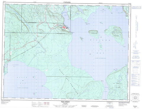
052A16 Red Rock Canada topo map, 1:50,000 scale
052A16 Red Rock NRCAN topographic map.
Includes UTM and GPS geographic coordinates (latitude and longitude). This 50k scale map is suitable for hiking, camping, and exploring, or you could frame it as a wall map.
Printed on-demand using high resolution, on heavy weight and acid free paper, or as an upgrade on a variety of synthetic materials.
Topos available on paper, Waterproof, Poly, or Tyvek. Usually shipping rolled, unless combined with other folded maps in one order.
- Product Number: NRCAN-052A16
- Parent Topo: TOPO-052A
- Map ID also known as: 052A16, 52A16
- Unfolded Size: Approximately 26" high by 36" wide
- Weight (paper map): ca. 55 grams
- Map Type: POD NRCAN Topographic Map
- Map Scale: 1:50,000
- Geographical region: Ontario, Canada
Neighboring Maps:
All neighboring Canadian topo maps are available for sale online at 1:50,000 scale.
Purchase the smaller scale map covering this area: Topo-052A
Spatial coverage:
Topo map sheet 052A16 Red Rock covers the following places:
- Black Bay - Caribou Cove - Cranberry Bay - Fire Hill Bay - Honeymoon Cove - Hurkett Cove - Kama Bay - Mazokamah Bay - Nipigon Bay - Stillwater Bay - Black Bay Peninsula - Caribou Point - Cook Point - Cooper Point - Five Mile Point - Ham Point - Hughes Point - Kama Point - MacKinnon Point - MaryEllen Point - Perch Point - Pointe à la Gourganne - Scully Point - Nipigon Strait - 90 - 91 - 92 - Corrigal - Dorion - Hele - Lett - Lyon - Nipigon - Patience - Stirling - Lake Helen Indian Reserve 53A - Réserve indienne Lake Helen 53A - Beckie Island - Burnt Island - Caribou Island - Condon Island - Crichton Island - Delaney Island - Frog Island - Ile la Grange - Jossie Island - La Grange Island - Outan Island - Scimming Island - Speckle Islands - St. Ignace Island - Vert Island - Antler Lake - Davidson Lake - Lac Supérieur - Lake Superior - McLennan Lake - Muir Lake - Ruby Lake - Williamson Lake - Doghead Mountain - Kama Hills - Red Rock Hill - Nipigon - Red Rock - Black Bay Bog Conservation Reserve - Black Sturgeon River Provincial Park - Kama Cliffs Conservation Reserve - Ruby Lake Provincial Park - Gardener Rapids - Antler Creek - Big Squaw Creek - Big Trout Creek - Black Sturgeon River - Driftstone Creek - East Little Ruby Creek - Fire Hill Creek - Firehill Creek - Jackfish River - Jackpine River - Little Squaw Creek - Little Trout Creek - Morrow Creek - Moseau Creek - Nipigon River - North Trout Creek - Rivière Nipigon - Ruby Creek - South Trout Creek - Stillwater Creek - West Little Ruby Creek - Wolf River - Clay Shoal - Holden Shoal - Old John Rock - Piledriver Shoal - Coughlin - Everard - Hurkett - Ivan - Kama - Red Rock - Robford - Sprucewood


