
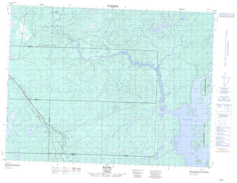
052A13 Raith Canada topo map, 1:50,000 scale
052A13 Raith NRCAN topographic map.
Includes UTM and GPS geographic coordinates (latitude and longitude). This 50k scale map is suitable for hiking, camping, and exploring, or you could frame it as a wall map.
Printed on-demand using high resolution, on heavy weight and acid free paper, or as an upgrade on a variety of synthetic materials.
Topos available on paper, Waterproof, Poly, or Tyvek. Usually shipping rolled, unless combined with other folded maps in one order.
- Product Number: NRCAN-052A13
- Parent Topo: TOPO-052A
- Map ID also known as: 052A13, 52A13
- Unfolded Size: Approximately 26" high by 36" wide
- Weight (paper map): ca. 55 grams
- Map Type: POD NRCAN Topographic Map
- Map Scale: 1:50,000
- Geographical region: Ontario, Canada
Neighboring Maps:
All neighboring Canadian topo maps are available for sale online at 1:50,000 scale.
Purchase the smaller scale map covering this area: Topo-052A
Spatial coverage:
Topo map sheet 052A13 Raith covers the following places:
- Creighton Bay - North Bay - Stirrett Bay - Bad Point - Golding - Michener - Parry - Robson - Soper - Wardrope - Big Island - Coldwater Lake - Croskery Lake - Dexter Lake - Dog Lake - Eayrs Lake - Gandier Lake - Hawkshaw Lake - Heise Lake - Jordain Lake - Kerfoot Lake - Lac du Milieu - Lariat Lake - McCrimmon Lake - McGhie Lake - Nordland Lake - Orbit Lake - Sorrell Lake - Tackle Lake - Toole Lake - Trumper Lake - Wakinoo Lake - Dog River Conservation Reserve - Barrier Rapids - Little Rapids - Block Creek - Dexter Creek - Dog River - East Oskondaga River - Eayrs Creek - Fisher Creek - Gutteridge Creek - Jordain Creek - Oskondaga River - Rivière des Iles - Wakinoo Creek - Whitefin Creek - Barrier Portage - Portage du Jordain - Portage du Milieu - Prairie Portage - Horne - Linko - Raith


