
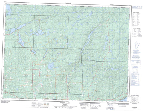
052A11 Onion Lake Canada topo map, 1:50,000 scale
052A11 Onion Lake NRCAN topographic map.
Includes UTM and GPS geographic coordinates (latitude and longitude). This 50k scale map is suitable for hiking, camping, and exploring, or you could frame it as a wall map.
Printed on-demand using high resolution, on heavy weight and acid free paper, or as an upgrade on a variety of synthetic materials.
Topos available on paper, Waterproof, Poly, or Tyvek. Usually shipping rolled, unless combined with other folded maps in one order.
- Product Number: NRCAN-052A11
- Parent Topo: TOPO-052A
- Map ID also known as: 052A11, 52A11
- Unfolded Size: Approximately 26" high by 36" wide
- Weight (paper map): ca. 55 grams
- Map Type: POD NRCAN Topographic Map
- Map Scale: 1:50,000
- Geographical region: Ontario, Canada
Neighboring Maps:
All neighboring Canadian topo maps are available for sale online at 1:50,000 scale.
Purchase the smaller scale map covering this area: Topo-052A
Spatial coverage:
Topo map sheet 052A11 Onion Lake covers the following places:
- Chief Bay - Clarke Bay - Mary Harbour - Stirrett Bay - Thunder Bay - Frog Point - Moose Point - Surprise Lake Narrows - Fowler - Gorham - Jacques - MacGregor - McIntyre - Oliver - Ware - Net Island - Toivold Island - Barnum Lake - Basher Lake - Beaverkit Lake - Beaverlodge Lake - Bentley Lake - Bolduc Lake - Boyd Lake - Burk Lake - Carlson Lake - Crock Lake - Cummins Lake - Dog Lake - Dufault Lake - Egg Lake - Florence Lake - Flossie Lake - Fodder Lake - Freed Lake - Gilby Lake - Golding Lake - Goodman Lake - Greenhue Lake - Greenpike Lake - Gunderson Lake - Halfway Lake - Ham Lake - Hardwicke Lake - Hawkeye Lake - Hazelwood Lake - High Lake - Hornet Lake - Howcum Lake - Island Lake - Kajander Lake - Kawene Lake - Kingfisher Lake - Lake Koivukoski - Lassie Lake - Little Hawkeye Lake - Lone Island Lake - Lottit Lake - MacCormack Lake - Magone Lake - Mary Lake - Missing Lake - Monday Lake - No Name Lake - Nybergs Lake - Odette Lake - One Island Lake - Onion Lake - Paul Lake - Penassen Lakes - Rescue Lake - Retto Lake - Rosvall Lake - Shabb Lake - Spike Lake - Spirit Lake - Sunday Lake - Surprise Lake - Tapico Lake - Tapio Lake - Timmus Lake - Ton Lake - Tornroos Lake - Town Lake - Trout Lake - Two Island Lake - Two Pound Lake - Voutilainen Lake - Walkinshaw Lake - Waller Lake - Warnica Lake - Wartman Lake - Wasp Lake - Whitelily Lake - Oliver - Oliver Paipoonge - Paipoonge - Aberdeen Creek - Barnum Creek - Bentley Creek - Blind Creek - Crock Creek - Current River - Escape Creek - Ferguson Creek - Hawkeye Creek - Mackenzie Creek - McIntyre River - McVicar Creek - Neebing River - Penassen Creek - Savigny Creek - Strawberry Creek - Sunday Creek - Ton Creek - Walkinshaw Creek - Wasp Creek - Wild Goose Creek - Wildgoose Creek - Intola - Kivikoski - Lappe - Stepstone - Toimela - Barclay's Bog


